
1947 Map of Mariposa
USGS Topo · Published 1947About this map
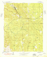
Mariposa serves as the focal point for this 1947 survey, a gateway community defined by the convergence of the Yosemite All-Year Highway and Mariposa Creek. The landscape preserves the industrial legacy of the California Gold Rush, with the Mariposa Mine and the Granite King Mine situated near the town and surrounding hills. Smaller settlements and waypoints like Mormon Bar, Bootjack, and John Allen Flat indicate a dispersed but established population pattern across the Las Mariposas region.
Find a feature on this map
28 named features on this map. Tap any name to fly to it.
Don’t see what you’re looking for? This feature index may not catch every label — zoom into the map to look around manually.
Map Details
Editions of this 1947 Mariposa Map
5 editions found
Other maps of this area

1893 · Sonora
USGS Topo · 1:125,000

1896 · Sonora
USGS Topo · 1:125,000

1897 · Sonora
USGS Topo · 1:125,000

1897 · Yosemite
USGS Topo · 1:125,000

1898 · Sonora
USGS Topo · 1:125,000

1900 · Yosemite
USGS Topo · 1:125,000

1903 · Yosemite
USGS Topo · 1:125,000

1909 · Yosemite
USGS Topo · 1:125,000

1912 · Mariposa
USGS Topo · 1:125,000

1919 · Indian Gulch
USGS Topo · 1:48,000