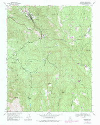
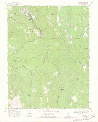
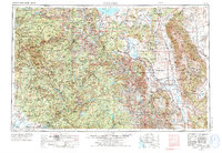
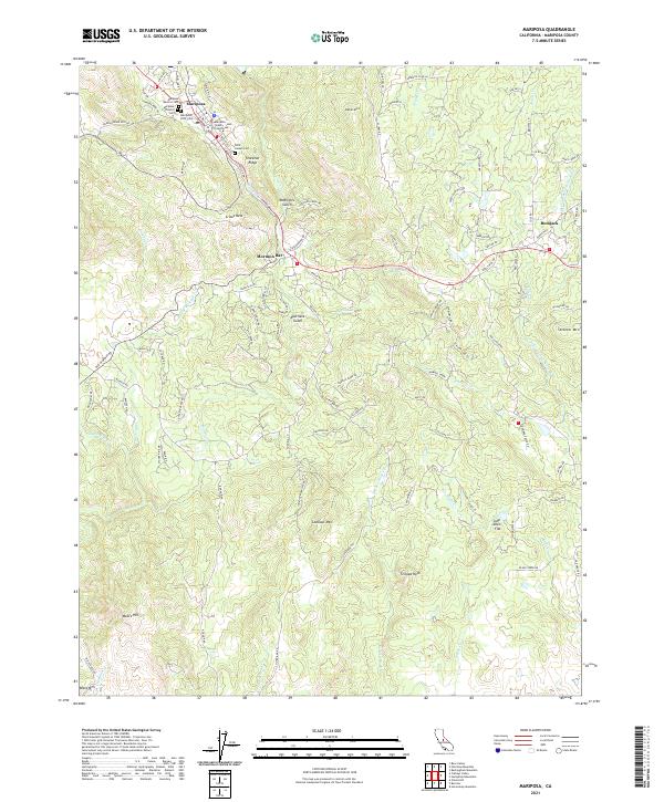
1947 Map of Mariposa
USGS Topo · Published 1983About this map
The Sierra Nevada foothills emerge through the settlement of Mariposa, serving as a gateway along the Yosemite All-Year Highway. This mid-century survey documents the transition from a gold-rush legacy to a regional hub, anchored by the Mariposa Mine and the historic Las Mariposas grant boundary. The landscape is defined by its drainages, including Mariposa Creek and Agua Fria Creek, which once guided miners toward the Granite King Mine.
Find a feature on this map
28 named features on this map. Tap any name to fly to it.
Don’t see what you’re looking for? This feature index may not catch every label — zoom into the map to look around manually.
Map Details
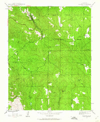
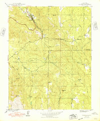
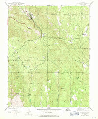
Editions of this 1947 Mariposa Map
5 editions found
Historical Maps of Mormon Bar Through Time
11 maps found
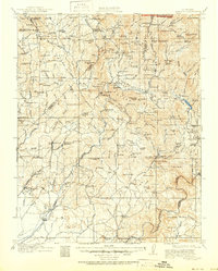
1912 Mariposa
Mariposa County, CA
1947 Mariposa
Mariposa County, CA
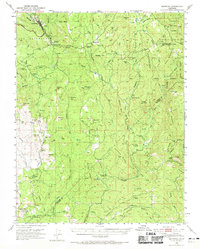
1947 Mariposa
Mariposa County, CA
1947 Mariposa
Mariposa County, CA

1948 Mariposa
Mariposa County, CA
1957 Mariposa
Mariposa County, CA

1963 Mariposa
Mariposa County, CA
2012 Mariposa
Mariposa County, CA
2015 Mariposa
Mariposa County, CA
2018 Mariposa
Mariposa County, CA
2021 Mariposa
Mariposa County, CA