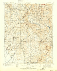
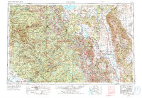
1947 Map of Mariposa
USGS Topo · Published 1981About this map
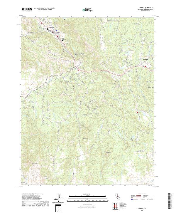
The town of Mariposa serves as the gateway to the Sierra foothills, shown here in the immediate post-war era as it transitioned toward modern tourism. Significant mining operations still marked the landscape, including the Mariposa Mine and the Granite King Mine, remnants of the region's 19th-century gold rush origins. The map illustrates the sprawling Las Mariposas grant boundary, with the Yosemite All-Year Highway carving a path through the steep drainages of Mariposa Creek and Buckeye Creek.
Find a feature on this map
29 named features on this map. Tap any name to fly to it.
Don’t see what you’re looking for? This feature index may not catch every label — zoom into the map to look around manually.
Map Details
Editions of this 1947 Mariposa Map
5 editions found
Historical Maps of Mormon Bar Through Time
11 maps found
1912 Mariposa
Mariposa County, CA
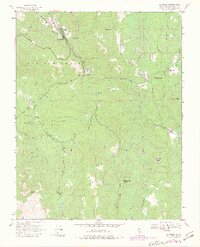
1947 Mariposa
Mariposa County, CA
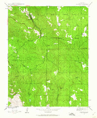
1947 Mariposa
Mariposa County, CA
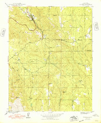
1947 Mariposa
Mariposa County, CA

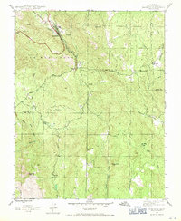
1948 Mariposa
Mariposa County, CA
1957 Mariposa
Mariposa County, CA

1963 Mariposa
Mariposa County, CA
2012 Mariposa
Mariposa County, CA
2015 Mariposa
Mariposa County, CA
2018 Mariposa
Mariposa County, CA
2021 Mariposa
Mariposa County, CA