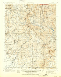
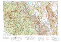
1947 Map of Mariposa
USGS Topo · Published 1971About this map
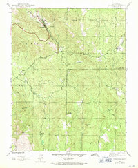
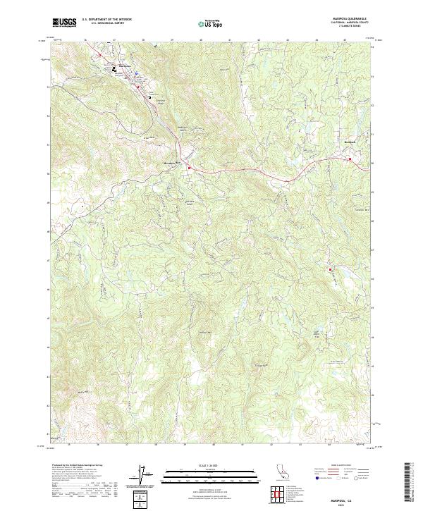
Mariposa serves as the focal point of this 1947 survey, where the Yosemite All-Year Highway snakes through the canyon of Stockton Creek. The area is deeply marked by its mining heritage, featuring the prominent Mariposa Mine near the town center and the Granite King Mine to the southwest. The landscape transitions from the residential and commercial cluster of the town into the surrounding ranching and mining outskirts of Mormon Bar and Bootjack.
Find a feature on this map
26 named features on this map. Tap any name to fly to it.
Don’t see what you’re looking for? This feature index may not catch every label — zoom into the map to look around manually.
Map Details
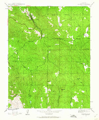
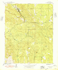
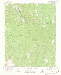
Editions of this 1947 Mariposa Map
5 editions found
Historical Maps of Mormon Bar Through Time
11 maps found
1912 Mariposa
Mariposa County, CA
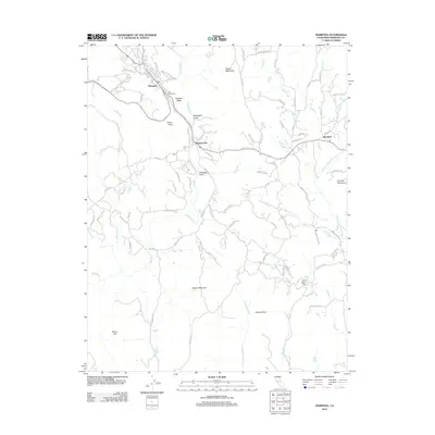
1947 Mariposa
Mariposa County, CA
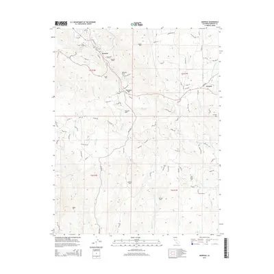
1947 Mariposa
Mariposa County, CA
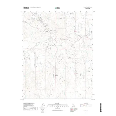
1947 Mariposa
Mariposa County, CA

1948 Mariposa
Mariposa County, CA
1957 Mariposa
Mariposa County, CA

1963 Mariposa
Mariposa County, CA
2012 Mariposa
Mariposa County, CA
2015 Mariposa
Mariposa County, CA
2018 Mariposa
Mariposa County, CA
2021 Mariposa
Mariposa County, CA