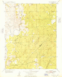
1948 Map of Ben Hur
USGS Topo · Published 1948About this map
Ben Hur serves as the focal point of this rural landscape on the border of Mariposa and Madera counties during the late 1940s. The settlement pattern is defined by isolated educational and community hubs, including Ben Hur Sch, Oakvale Sch, and Oakgrove Sch, reflecting the decentralized ranching and farming life of the era. The terrain is marked by prominent granite outcrops and high points like Bald Rock and Knob Hill, while the southern reaches are dominated by the Chowchilla River and Green Mtn. A notable feature for local historians is the Green Mtn Lookout, which provided a strategic vantage point over the complex drainage systems of Chapman Creek and Rock Creek. The layout of Raymond Road provides the primary transit link through this undulating country, connecting the scattered homesteads and the small Cem found near the western boundary.
Find a feature on this map
26 named features on this map. Tap any name to fly to it.
Don’t see what you’re looking for? This feature index may not catch every label — zoom into the map to look around manually.
Map Details
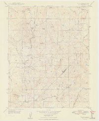
Editions of this 1948 Ben Hur Map
2 editions found
Other maps of this area

1912 · Mariposa
USGS Topo · 1:125,000

1919 · Indian Gulch
USGS Topo · 1:48,000

1919 · Raynor Creek
USGS Topo · 1:31,680

1920 · Indian Gulch
USGS Topo · 1:62,500

1942 · Raymond
USGS Topo · 1:62,500

1944 · Raymond
USGS Topo · 1:62,500
1946 · Le Grand
USGS Topo · 1:62,500
1947 · Raynor Creek
USGS Topo · 1:24,000

1947 · Mariposa
USGS Topo · 1:24,000

1947 · San Jose
USGS Topo · 1:250,000