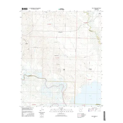
2017 Map of Ben Lomond
USGS Topo · Published 2017About this map
Ben Lomond and the surrounding Sevier and Little River County borderlands are defined by the convergence of the Saline River and the sprawling waters of Millwood Lake. This landscape is characterized by a mix of low-lying wetlands and distinct ridges, such as W Bois D'Arc Ridge and E Bois D'Arc Ridge, which separate the river bottoms from the upland settlements. Smaller communities like Brownstown, White Cliffs, and Cowlingsville are connected by a network of local routes including State Hwy 317. Genealogists will find several burial sites preserved on this sheet, including Ben Lomond Cem, Brownstown Cem, and Wrights Chapel Cem. The map captures the hydrological complexity of the region, where tributaries like Trent Cr and Wilson Cr feed into the expansive sloughs and lake systems of the south.
Find a feature on this map
51 named features on this map. Tap any name to fly to it.
Don’t see what you’re looking for? This feature index may not catch every label — zoom into the map to look around manually.
Map Details
Editions of this 2017 Ben Lomond Map
This is the sole edition of this map. No revisions or reprints were ever made.
Other maps of this area

1950 · Ashdown East
USGS Topo · 1:24,000

1950 · Ashdown West
USGS Topo · 1:24,000

1950 · Red Bluff
USGS Topo · 1:24,000

1950 · Ben Lomond
USGS Topo · 1:24,000

1950 · Falls Chapel
USGS Topo · 1:24,000

1951 · Ben Lomond
USGS Topo · 1:24,000

1951 · Ashdown West
USGS Topo · 1:24,000

1951 · Red Bluff
USGS Topo · 1:24,000

1951 · Falls Chapel
USGS Topo · 1:24,000

1951 · Ashdown East
USGS Topo · 1:24,000