
1929 Map of Bena
USGS Topo · Published 1929About this map
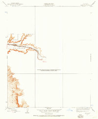
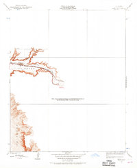
El Tejon landscape dominates the southern and central portions of this 1929 survey, revealing the critical transportation corridors through Kern County. The map focuses on the narrow transit corridor where the Southern Pacific railroad and the Tehachapi Highway run parallel, following the natural contours of the valley. A prominent bend in the rail line at Walker marks a significant waypoint for the steam-era logistics of the time. The drainage patterns of Cottonwood Creek and Basin Creek are intricately detailed, showing how water management and topography dictated the placement of early infrastructure. As an advance sheet produced by T. G. Gerdine and S. N. Stoner, it serves as a precise record of the land before significant mid-century development, capturing the sparse but vital network of rails and roads that connected California's interior.
Find a feature on this map
7 named features on this map. Tap any name to fly to it.
Don’t see what you’re looking for? This feature index may not catch every label — zoom into the map to look around manually.
Map Details
Editions of this 1929 Bena Map
3 editions found
Other maps of this area

1914 · Caliente
USGS Topo · 1:125,000

1930 · Bear Mountain
USGS Topo · 1:31,680

1930 · Arvin
USGS Topo · 1:31,680

1931 · Edison
USGS Topo · 1:31,680

1932 · Bena
USGS Topo · 1:31,680

1933 · Arvin
USGS Topo · 1:31,680

1933 · Bear Mountain
USGS Topo · 1:31,680

1943 · Cummings Mountain
USGS Topo · 1:62,500

1943 · Breckenridge Mountain
USGS Topo · 1:62,500

1948 · Bakersfield
USGS Topo · 1:250,000