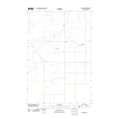
2011 Map of Benchland
USGS Topo · Published 2011About this map
The settlement of Benchland serves as the focal point of this Judith Basin County landscape, situated amidst a network of rural roads and seasonal watercourses. The area's agricultural and local heritage is anchored by the Benchland Cemetery and the Dolcefarniente Dam, which manages local water resources in this high-plains environment. Drainage patterns are defined by the winding course of Louse Creek as it moves across the southern portion of the quadrangle, while Big Coulee and Spring Branch mark the northern terrain. The transport network reflects the region's ranching and farming origins, with routes like Windham Benchland Rd and Lehigh Rd connecting the central settlement to the surrounding basin. This survey documents the intersection of essential infrastructure and the natural coulees that characterize the Montana benchlands.
Find a feature on this map
11 named features on this map. Tap any name to fly to it.
Don’t see what you’re looking for? This feature index may not catch every label — zoom into the map to look around manually.
Map Details
Editions of this 2011 Benchland Map
This is the sole edition of this map. No revisions or reprints were ever made.
Other maps of this area

1886 · Little Belt Mts.
USGS Topo · 1:250,000

1889 · Big Snowy Mountain
USGS Topo · 1:250,000

1890 · Fort Benton
USGS Topo · 1:250,000

1892 · Fort Benton
USGS Topo · 1:250,000

1893 · Big Snowy Mountain
USGS Topo · 1:250,000

1894 · Little Belt Mts.
USGS Topo · 1:250,000

1897 · Fort Benton
USGS Topo · 1:250,000

1897 · Little Belt Mts.
USGS Topo · 1:250,000

1898 · Little Belt Mts.
USGS Topo · 1:250,000

1902 · Little Belt Mts.
USGS Topo · 1:250,000