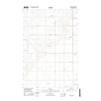
2017 Map of Benchland
USGS Topo · Published 2017About this map
The unincorporated community of Benchland serves as the focal point of this Judith Basin County landscape, situated where the high plains meet the intricate drainage systems of the Central Montana territory. The settlement is centered near the intersection of Windham Benchland Rd and Benchland Rd, with the nearby Benchland Cem providing a critical site for genealogical research. The terrain is defined by the prominent Big Coulee to the north and a network of waterways including Sage Cr, Louse Cr, and Spring Br.
Find a feature on this map
29 named features on this map. Tap any name to fly to it.
Don’t see what you’re looking for? This feature index may not catch every label — zoom into the map to look around manually.
Map Details
Editions of this 2017 Benchland Map
This is the sole edition of this map. No revisions or reprints were ever made.
Other maps of this area

1886 · Little Belt Mts.
USGS Topo · 1:250,000

1889 · Big Snowy Mountain
USGS Topo · 1:250,000

1890 · Fort Benton
USGS Topo · 1:250,000

1892 · Fort Benton
USGS Topo · 1:250,000

1893 · Big Snowy Mountain
USGS Topo · 1:250,000

1894 · Little Belt Mts.
USGS Topo · 1:250,000

1897 · Fort Benton
USGS Topo · 1:250,000

1897 · Little Belt Mts.
USGS Topo · 1:250,000

1898 · Little Belt Mts.
USGS Topo · 1:250,000

1902 · Little Belt Mts.
USGS Topo · 1:250,000