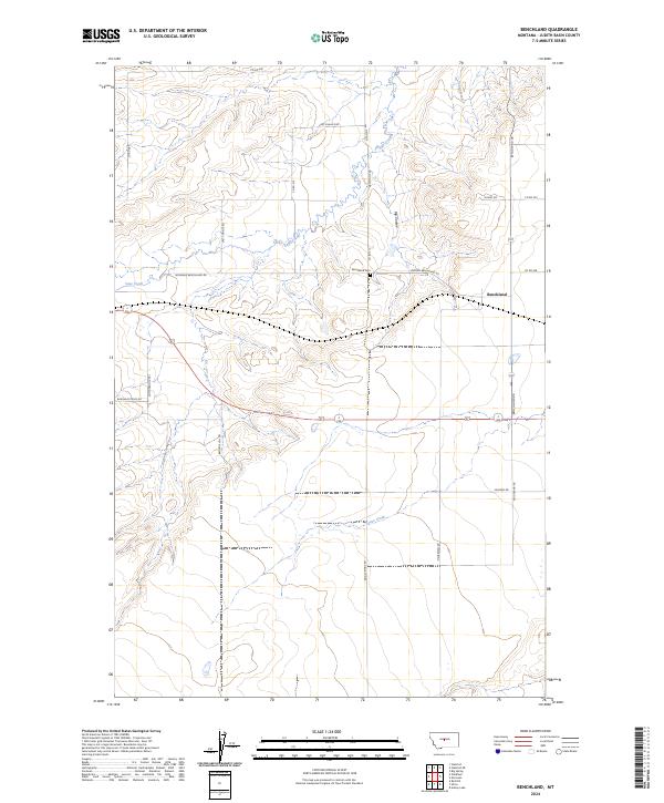
2024 Map of Benchland
USGS Topo · Published 2024About this map
Benchland serves as the primary focal point of this Judith Basin landscape, situated along the crossroads of agricultural transit routes. The settlement's history is anchored by the Benchland Cem, while the surrounding terrain is defined by the carved path of Big Coulee and the meandering course of Sage Creek. The map reveals a highly structured grid of section lines and rural roads, including Windham Benchland Rd and Widham Benchland Rd, which speak to the area's development as a ranching and farming hub.
Find a feature on this map
30 named features on this map. Tap any name to fly to it.
Don’t see what you’re looking for? This feature index may not catch every label — zoom into the map to look around manually.
Map Details
Editions of this 2024 Benchland Map
This is the sole edition of this map. No revisions or reprints were ever made.
Other maps of this area

1886 · Little Belt Mts.
USGS Topo · 1:250,000

1889 · Big Snowy Mountain
USGS Topo · 1:250,000

1890 · Fort Benton
USGS Topo · 1:250,000

1892 · Fort Benton
USGS Topo · 1:250,000

1893 · Big Snowy Mountain
USGS Topo · 1:250,000

1894 · Little Belt Mts.
USGS Topo · 1:250,000

1897 · Fort Benton
USGS Topo · 1:250,000

1897 · Little Belt Mts.
USGS Topo · 1:250,000

1898 · Little Belt Mts.
USGS Topo · 1:250,000

1902 · Little Belt Mts.
USGS Topo · 1:250,000