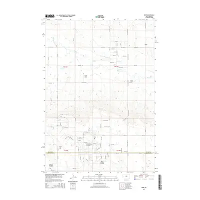
2015 Map of Bend
USGS Topo · Published 2015About this map
Ellsworth Air Force Base occupies a significant portion of the southwestern landscape in this 2015 survey, illustrating the deep military footprint in the Black Hills region. The base’s infrastructure transitions into the developing residential and educational patterns of Box Elder, including the National American University Ellsworth AFB Extension. North of this military hub, the terrain is defined by the winding paths of Elk Creek and Antelope Cr, which carve through the open country.
Find a feature on this map
86 named features on this map. Tap any name to fly to it.
Don’t see what you’re looking for? This feature index may not catch every label — zoom into the map to look around manually.
Map Details
Editions of this 2015 Bend Map
This is the sole edition of this map. No revisions or reprints were ever made.
Other maps of this area

1893 · Rapid
USGS Topo · 1:125,000

1898 · Rapid
USGS Topo · 1:125,000

1903 · Rapid
USGS Topo · 1:125,000

1953 · Bend
USGS Topo · 1:24,000

1953 · Rapid City 1 SW
USGS Topo · 1:24,000

1953 · Boxelder
USGS Topo · 1:24,000

1953 · Rapid City East
USGS Topo · 1:24,000

1953 · Rapid City NW
USGS Topo · 1:24,000

1953 · New Underwood SW
USGS Topo · 1:24,000

1953 · Hereford SW
USGS Topo · 1:24,000