
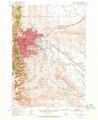
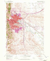
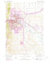
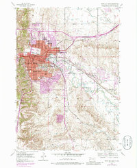
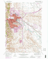
1953 Map of Rapid City East
USGS Topo · Published 1955About this map
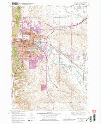
Rapid City serves as the focal point of this mid-century survey, revealing a bustling regional hub defined by its academic and industrial infrastructure. The campus of the South Dakota School of Mines and numerous local schools like Coolidge High Sch and Roosevelt Sch anchor the residential grid. The landscape is shaped by the presence of Rapid Creek and an intricate system of irrigation channels, including the Murphy Ditch and Cyclone Ditch, which supported the agricultural valley to the east. Transportation networks are prominent, featuring the Chicago and North Western railroad and the Halley Airport. Beyond the city limits, landmarks like Dinosaur Park on the ridge and the Rapid Valley Race Track reflect the area's growth as a destination, while the small settlement at Murphy and the Warbonnet area highlight the rural character of the Pennington County plains.
Find a feature on this map
46 named features on this map. Tap any name to fly to it.
Don’t see what you’re looking for? This feature index may not catch every label — zoom into the map to look around manually.
Map Details
Editions of this 1953 Rapid City East Map
7 editions found
Other maps of this area

1893 · Rapid
USGS Topo · 1:125,000

1894 · Hermosa
USGS Topo · 1:125,000

1898 · Rapid
USGS Topo · 1:125,000

1901 · Hermosa
USGS Topo · 1:125,000

1903 · Rapid
USGS Topo · 1:125,000

1953 · Bend
USGS Topo · 1:24,000

1953 · Boxelder
USGS Topo · 1:24,000

1953 · Hermosa NW
USGS Topo · 1:24,000

1953 · Blackhawk
USGS Topo · 1:24,000

1953 · Rapid City NW
USGS Topo · 1:24,000
Featured Places
- Rapid City, SD
- Box Elder, SD
- Rapid Valley, SD
- Sioux Village, Rapid City
- Twilight Hills Addition, Rapid City