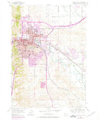
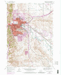
1953 Map of Rapid City East
USGS Topo · Published 1978About this map
Rapid City spreads across the foothills of the Black Hills in this mid-century survey, revealing a period of significant urban expansion and institutional growth. The prominent South Dakota School of Mines anchors the city’s southeastern quadrant, while a network of neighborhood schools like Roosevelt Sch, Beadle Sch, and Wilson Sch illustrates the post-war residential development. To the west, Cowboy Hill and the unique Dinosaur Park provide distinct topographic landmarks above the city's grid.
Find a feature on this map
47 named features on this map. Tap any name to fly to it.
Don’t see what you’re looking for? This feature index may not catch every label — zoom into the map to look around manually.
Map Details
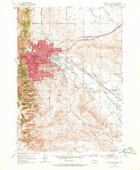
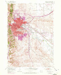
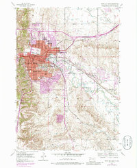
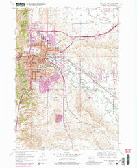
Editions of this 1953 Rapid City East Map
7 editions found
Other maps of this area

1893 · Rapid
USGS Topo · 1:125,000

1894 · Hermosa
USGS Topo · 1:125,000

1898 · Rapid
USGS Topo · 1:125,000

1901 · Hermosa
USGS Topo · 1:125,000

1903 · Rapid
USGS Topo · 1:125,000

1953 · Bend
USGS Topo · 1:24,000

1953 · Boxelder
USGS Topo · 1:24,000

1953 · Hermosa NW
USGS Topo · 1:24,000

1953 · Blackhawk
USGS Topo · 1:24,000

1953 · Rapid City East
USGS Topo · 1:24,000
Featured Places
- Rapid City, SD
- Box Elder, SD
- Rapid Valley, SD
- Sioux Village, Rapid City
- Twilight Hills Addition, Rapid City