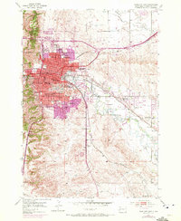
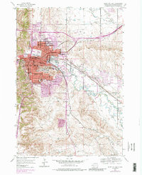
1953 Map of Rapid City East
USGS Topo · Published 1972About this map
Rapid City serves as the focal point of this mid-century survey, which reveals the expansion of urban residential areas into the surrounding foothills and plains. The South Dakota School of Mines and a dense network of local schools like Robbinsdale Sch and Jefferson Sch define the town's social infrastructure, while industrial and transport activity centers on the Chicago and North Western and Chicago Milwaukee St Paul and Pacific rail lines.
Find a feature on this map
49 named features on this map. Tap any name to fly to it.
Don’t see what you’re looking for? This feature index may not catch every label — zoom into the map to look around manually.
Map Details
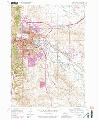
Editions of this 1953 Rapid City East Map
7 editions found
Other maps of this area

1893 · Rapid
USGS Topo · 1:125,000

1894 · Hermosa
USGS Topo · 1:125,000

1898 · Rapid
USGS Topo · 1:125,000

1901 · Hermosa
USGS Topo · 1:125,000

1903 · Rapid
USGS Topo · 1:125,000

1953 · Bend
USGS Topo · 1:24,000

1953 · Boxelder
USGS Topo · 1:24,000

1953 · Hermosa NW
USGS Topo · 1:24,000

1953 · Blackhawk
USGS Topo · 1:24,000

1953 · Rapid City East
USGS Topo · 1:24,000
Featured Places
- Rapid City, SD
- Box Elder, SD
- Rapid Valley, SD
- Sioux Village, Rapid City
- Twilight Hills Addition, Rapid City