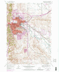
1953 Map of Rapid City East
USGS Topo · Published 1986About this map
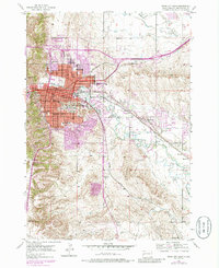
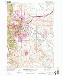
Rapid Creek carves a path through the Black Hills foothills on the western edge of the Great Plains, defining the layout of Rapid City during its mid-century expansion. This 1953 survey, later updated with purple-tinted urban extensions from the 1970s, captures the city’s educational and recreational heart, centered on the South Dakota School of Mines and landmarks like Dinosaur Park atop Hangman Hill. The landscape transitions from the urban core and residential wards, represented by schools like Roosevelt Sch and Tallent Sch, to an agricultural periphery supported by the South Side Rapid Creek Ditch and the Murphy and St Paul Ditch. Rail infrastructure is prominent, with the Chicago and North Western and the Chicago Milwaukee St Paul and Pacific lines navigating the valley. To the southeast, smaller communities such as Murphy and Warbonnet sit along the creek, while the Rapid Valley Race Track reflects the era's local entertainment.
Find a feature on this map
51 named features on this map. Tap any name to fly to it.
Don’t see what you’re looking for? This feature index may not catch every label — zoom into the map to look around manually.
Map Details
Editions of this 1953 Rapid City East Map
7 editions found
Other maps of this area

1893 · Rapid
USGS Topo · 1:125,000

1894 · Hermosa
USGS Topo · 1:125,000

1898 · Rapid
USGS Topo · 1:125,000

1901 · Hermosa
USGS Topo · 1:125,000

1903 · Rapid
USGS Topo · 1:125,000

1953 · Bend
USGS Topo · 1:24,000

1953 · Boxelder
USGS Topo · 1:24,000

1953 · Hermosa NW
USGS Topo · 1:24,000

1953 · Blackhawk
USGS Topo · 1:24,000

1953 · Rapid City East
USGS Topo · 1:24,000
Featured Places
- Rapid City, SD
- Box Elder, SD
- Rapid Valley, SD
- Sioux Village, Rapid City
- Twilight Hills Addition, Rapid City