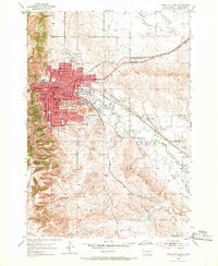
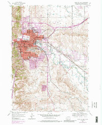
1953 Map of Rapid City East
USGS Topo · Published 1968About this map
Rapid City expands eastward during the early 1950s, centered around the South Dakota School of Mines and the Rapid Creek corridor. The urban grid is dense with mid-century civic infrastructure, including numerous neighborhood schools like Beadle Sch, Garfield Sch, and Lincoln Sch. Beyond the residential core, the landscape transitions into a working valley defined by complex irrigation systems such as the Iowa Ditch and North Western Ditch. These waterways support the agricultural outskirts near Murphy, where the Chicago and North Western and the Chicago Milwaukee St Paul and Pacific railroads converge. Notable landmarks of the era include the Drive-in Theater near the Halley Airport and the Rapid Valley Race Track, illustrating the recreational and logistical character of the Black Hills' gateway city during this period of post-war growth.
Find a feature on this map
55 named features on this map. Tap any name to fly to it.
Don’t see what you’re looking for? This feature index may not catch every label — zoom into the map to look around manually.
Map Details
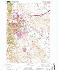
Editions of this 1953 Rapid City East Map
7 editions found
Other maps of this area

1893 · Rapid
USGS Topo · 1:125,000

1894 · Hermosa
USGS Topo · 1:125,000

1898 · Rapid
USGS Topo · 1:125,000

1901 · Hermosa
USGS Topo · 1:125,000

1903 · Rapid
USGS Topo · 1:125,000

1953 · Bend
USGS Topo · 1:24,000

1953 · Boxelder
USGS Topo · 1:24,000

1953 · Hermosa NW
USGS Topo · 1:24,000

1953 · Blackhawk
USGS Topo · 1:24,000

1953 · Rapid City East
USGS Topo · 1:24,000
Featured Places
- Rapid City, SD
- Box Elder, SD
- Rapid Valley, SD
- Sioux Village, Rapid City
- Twilight Hills Addition, Rapid City