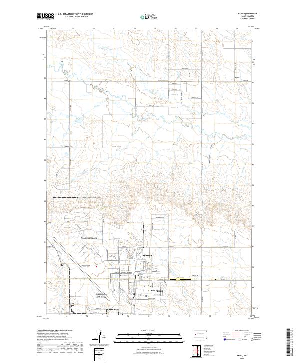
2021 Map of Bend
USGS Topo · Published 2021About this map
Ellsworth Air Force Base dominates the southern portion of this landscape, showing a dense network of residential streets such as Vance Dr, Tyndal Rd, and McNarney Rd. The base extension includes the National American University - Ellsworth AFB Extension, reflecting the community's integration with the neighboring city of Box Elder. This military presence provides a stark contrast to the rural ranch land and drainage systems to the north, where the small settlement of Bend sits near the crossing of Bend Rd and Elk Creek Rd.
Find a feature on this map
94 named features on this map. Tap any name to fly to it.
Don’t see what you’re looking for? This feature index may not catch every label — zoom into the map to look around manually.
Map Details
Editions of this 2021 Bend Map
This is the sole edition of this map. No revisions or reprints were ever made.
Other maps of this area

1893 · Rapid
USGS Topo · 1:125,000

1898 · Rapid
USGS Topo · 1:125,000

1903 · Rapid
USGS Topo · 1:125,000

1953 · Bend
USGS Topo · 1:24,000

1953 · Rapid City 1 SW
USGS Topo · 1:24,000

1953 · Boxelder
USGS Topo · 1:24,000

1953 · Rapid City East
USGS Topo · 1:24,000

1953 · Rapid City NW
USGS Topo · 1:24,000

1953 · New Underwood SW
USGS Topo · 1:24,000

1953 · Hereford SW
USGS Topo · 1:24,000