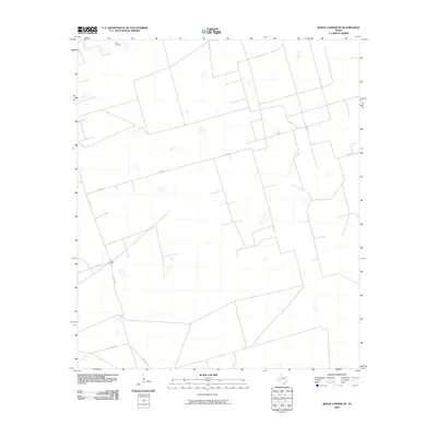
2010 Map of Benge Corner SE
USGS Topo · Published 2010About this map
Cross L Ranch sits at the intersection of local routes in this arid portion of West Texas, reflecting the region's enduring ranching heritage. The landscape is defined by a sparse network of county roads, including Co Rd 117 and Co Rd 308, which facilitate movement across the open range. A singular landmark, Tree Windmill, indicates the critical role of water infrastructure in sustaining livestock and remote settlements in this environment. The geometric layout of property boundaries and the limited number of named features suggest a territory dominated by large landholdings rather than dense township development, offering a clear view of modern land use in Upton County.
Find a feature on this map
6 named features on this map. Tap any name to fly to it.
Don’t see what you’re looking for? This feature index may not catch every label — zoom into the map to look around manually.
Map Details
Editions of this 2010 Benge Corner SE Map
This is the sole edition of this map. No revisions or reprints were ever made.
Other maps of this area

1928 · Crane
USGS Topo · 1:125,000

1928 · Rankin
USGS Topo · 1:125,000

1954 · Pecos
USGS Topo · 1:250,000

1954 · San Angelo
USGS Topo · 1:250,000

1957 · Pecos
USGS Topo · 1:250,000

1958 · San Angelo
USGS Topo · 1:250,000

1965 · San Angelo
USGS Topo · 1:250,000

1968 · Benge Corner SE
USGS Topo · 1:24,000

1968 · Benge Corner NW
USGS Topo · 1:24,000

1968 · Midkiff NW
USGS Topo · 1:24,000