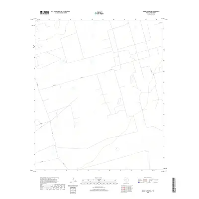
2019 Map of Benge Corner SE
USGS Topo · Published 2019About this map
The arid landscape of Upton County is defined by a geometric network of property lines and rural routes in this 2019 survey. The terrain is marked by ephemeral water catchments and wide, open flats where long stretches of unpaved road provide the primary infrastructure. Key transport corridors like Co Rd 117 and Co Rd 308 cross the terrain, reflecting the modern oil field and ranching operations that characterize the Permian Basin. Local access points such as Cotton Ln and the junction of Co Rd 307 with Rd 307 offer specific location markers for researchers tracing land ownership or mineral exploration in this part of West Texas.
Find a feature on this map
6 named features on this map. Tap any name to fly to it.
Don’t see what you’re looking for? This feature index may not catch every label — zoom into the map to look around manually.
Map Details
Editions of this 2019 Benge Corner SE Map
This is the sole edition of this map. No revisions or reprints were ever made.
Other maps of this area

1928 · Crane
USGS Topo · 1:125,000

1928 · Rankin
USGS Topo · 1:125,000

1954 · Pecos
USGS Topo · 1:250,000

1954 · San Angelo
USGS Topo · 1:250,000

1957 · Pecos
USGS Topo · 1:250,000

1958 · San Angelo
USGS Topo · 1:250,000

1965 · San Angelo
USGS Topo · 1:250,000

1968 · Benge Corner SE
USGS Topo · 1:24,000

1968 · Benge Corner NW
USGS Topo · 1:24,000

1968 · Midkiff NW
USGS Topo · 1:24,000