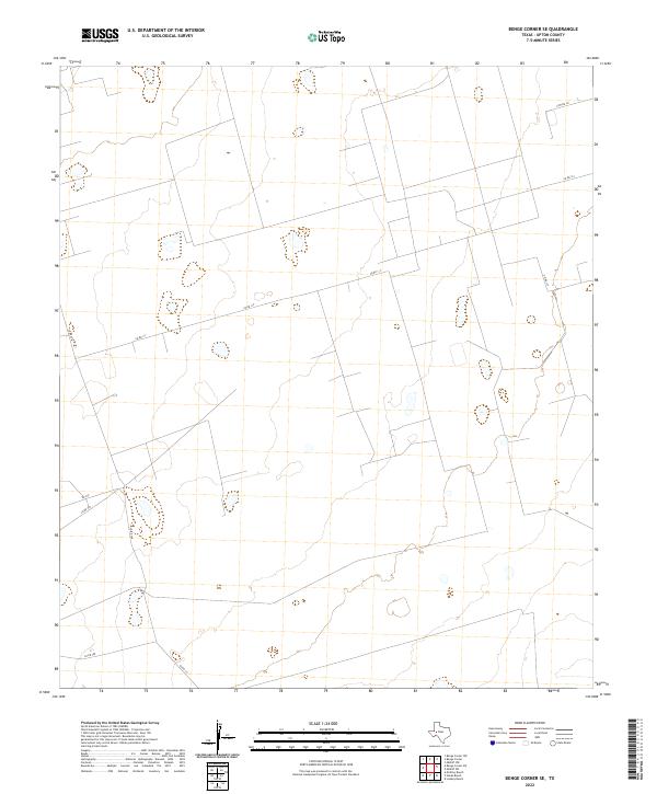
2022 Map of Benge Corner SE
USGS Topo · Published 2022About this map
Upton County terrain is defined by its vast, open character and sparse network of rural transit routes. This landscape, primarily situated between 2,700 and 2,800 feet in elevation, exhibits the characteristic drainage patterns and subtle relief of the region's high plains. Infrastructure is limited to a grid of county thoroughfares, such as Co Rd 117 and Co Rd 121, which cut long, straight paths through the territory. These roads, including the north-south alignment of Cotton Ln, likely serve ranching interests or energy extraction operations common to this part of Texas. The absence of named settlements or major landmarks suggests a territory focused on land management and industrial utility rather than urban development, with secondary connectors like Co Rd 308 and Co Rd 111 providing the primary means of navigating this expansive stretch of the Permian Basin's surface.
Find a feature on this map
7 named features on this map. Tap any name to fly to it.
Don’t see what you’re looking for? This feature index may not catch every label — zoom into the map to look around manually.
Map Details
Editions of this 2022 Benge Corner SE Map
This is the sole edition of this map. No revisions or reprints were ever made.
Other maps of this area

1928 · Crane
USGS Topo · 1:125,000

1928 · Rankin
USGS Topo · 1:125,000

1954 · Pecos
USGS Topo · 1:250,000

1954 · San Angelo
USGS Topo · 1:250,000

1957 · Pecos
USGS Topo · 1:250,000

1958 · San Angelo
USGS Topo · 1:250,000

1965 · San Angelo
USGS Topo · 1:250,000

1968 · Benge Corner SE
USGS Topo · 1:24,000

1968 · Benge Corner NW
USGS Topo · 1:24,000

1968 · Midkiff NW
USGS Topo · 1:24,000