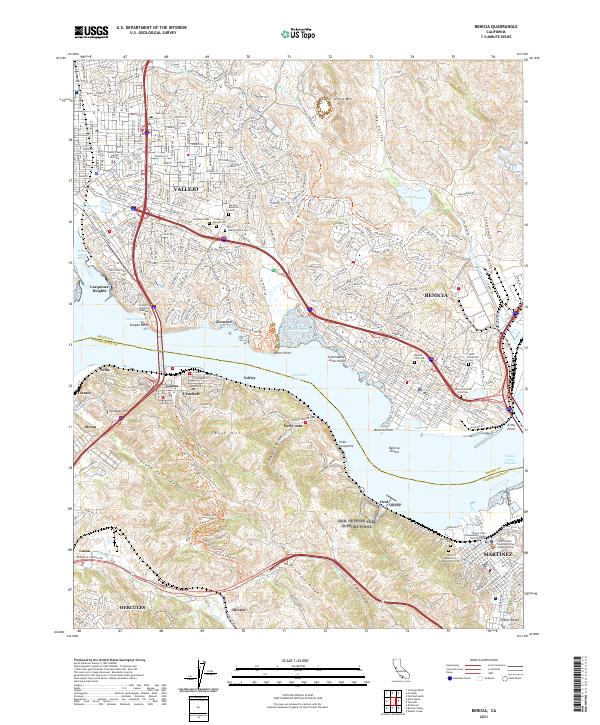
2021 Map of Benicia
USGS Topo · Published 2021About this map
Vallejo and Benicia anchor this detailed study of the industrial and maritime corridor along the Carquinez Strait. The landscape is defined by the heavy rail and oil infrastructure of the early 21st century, including the Union Oil Company rail lines and the sprawling facilities near Oleum and Martinez. Inland, the terrain rises sharply into the Franklin Ridge and Sulphur Springs Mtn, where a dense network of recreational paths like the Bay Area Ridge Trl and Blue Rock Springs Trl weave through the canyons.
Find a feature on this map
84 named features on this map. Tap any name to fly to it.
Don’t see what you’re looking for? This feature index may not catch every label — zoom into the map to look around manually.
Map Details
Editions of this 2021 Benicia Map
This is the sole edition of this map. No revisions or reprints were ever made.
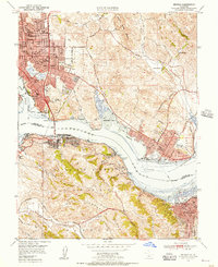
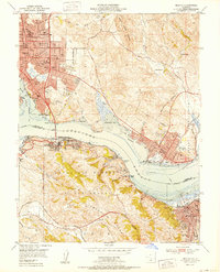
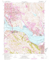
Historical Maps of Valona Through Time
4 maps found