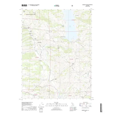
2018 Map of Benmore Canyon
USGS Topo · Published 2018About this map
Spring Valley serves as a central point of reference in this corner of Lake County, where the landscape transitions from the protected boundaries of the Mendocino National Forest to the waters of the Indian Valley Reservoir. The terrain is defined by a complex network of drainage basins including North Fork Cache Creek and Wolf Cr, which carve through dozens of named canyons such as Benmore Canyon and Kattenburg Canyon. This 2018 survey reveals a topography heavily influenced by both natural erosion and modern water management.
Find a feature on this map
72 named features on this map. Tap any name to fly to it.
Don’t see what you’re looking for? This feature index may not catch every label — zoom into the map to look around manually.
Map Details
Editions of this 2018 Benmore Canyon Map
This is the sole edition of this map. No revisions or reprints were ever made.
Other maps of this area

1920 · Venado
USGS Topo · 1:62,500

1924 · Bartlett Springs
USGS Topo · 1:62,500

1942 · Bartlett Springs
USGS Topo · 1:62,500

1943 · Morgan Valley
USGS Topo · 1:62,500

1944 · Bartlett Springs
USGS Topo · 1:62,500

1944 · Wilbur Springs
USGS Topo · 1:62,500

1944 · Morgan Valley
USGS Topo · 1:62,500

1945 · Lower Lake
USGS Topo · 1:62,500

1947 · Santa Rosa
USGS Topo · 1:250,000

1949 · Santa Rosa
USGS Topo · 1:250,000