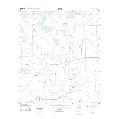
2012 Map of Bennett
USGS Topo · Published 2012About this map
Econfina and the small settlement of Bennett anchor this 2012 survey of the Florida panhandle. The landscape is defined by a dense network of water bodies, including Hamlin Lake, Gully Lake, and Sparkleberry Lake, alongside the winding path of Econfina Cr. This area shows a persistent connection to the land through its rural roads and family-named features like Gainer Cem and Porter Cem. The presence of the Blue Springs Boy Scouts Camp near Blue Springs Rd highlights the recreational value of the local springs.
Find a feature on this map
83 named features on this map. Tap any name to fly to it.
Don’t see what you’re looking for? This feature index may not catch every label — zoom into the map to look around manually.
Map Details
Editions of this 2012 Bennett Map
This is the sole edition of this map. No revisions or reprints were ever made.
Other maps of this area

1943 · Southport
USGS Topo · 1:24,000

1944 · Southport
USGS Topo · 1:24,000

1944 · Crystal Lake
USGS Topo · 1:24,000

1944 · Bayhead
USGS Topo · 1:24,000

1944 · Bennett
USGS Topo · 1:24,000

1945 · Youngstown
USGS Topo · 1:31,680

1945 · Bennett
USGS Topo · 1:31,680

1945 · Bayhead
USGS Topo · 1:31,680

1945 · Crystal Lake
USGS Topo · 1:31,680

1945 · Fountain
USGS Topo · 1:31,680