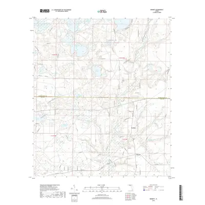
2018 Map of Bennett
USGS Topo · Published 2018About this map
Econfina Creek carves a winding path through the center of this landscape, anchoring the small settlements of Econfina and Bennett in northern Bay County. The terrain is defined by a dense concentration of interior ponds and wetlands, such as the Swift Cr Swamp and the Bay Gall Ponds, illustrating the complex hydrology of the Florida Panhandle. Genealogical interests are represented by the Gainer Cem and Porter Cem, located near the creek and the community of Econfina.
Find a feature on this map
97 named features on this map. Tap any name to fly to it.
Don’t see what you’re looking for? This feature index may not catch every label — zoom into the map to look around manually.
Map Details
Editions of this 2018 Bennett Map
This is the sole edition of this map. No revisions or reprints were ever made.
Other maps of this area

1943 · Southport
USGS Topo · 1:24,000

1944 · Southport
USGS Topo · 1:24,000

1944 · Crystal Lake
USGS Topo · 1:24,000

1944 · Bayhead
USGS Topo · 1:24,000

1944 · Bennett
USGS Topo · 1:24,000

1945 · Youngstown
USGS Topo · 1:31,680

1945 · Bennett
USGS Topo · 1:31,680

1945 · Bayhead
USGS Topo · 1:31,680

1945 · Crystal Lake
USGS Topo · 1:31,680

1945 · Fountain
USGS Topo · 1:31,680