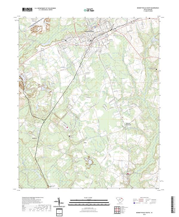
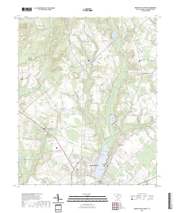
2024 Map of Bennettsville South
USGS Topo · Published 2024About this map
The Marlboro County Courthouse serves as the focal point for the town of Bennettsville, where a dense network of residential streets like Dundee Dr and Redbud St meet the historic Railroad Ave corridor. This modern survey illustrates the enduring footprint of agricultural and small-town life in the South Carolina Pee Dee region. Beyond the primary settlement, the landscape transitions into a patchwork of rural communities including Scott, Blenheim, and Monroe Crossroads, interconnected by county routes. The terrain is defined by its complex hydrology, featuring numerous bay formations like Sandhill Bay and winding watercourses such as Crooked Creek and Cottingham Creek. For local historians, the map accurately preserves the locations of several burial grounds and places of worship, including Sunset Memorial Park, Evergreen Cem, and the Macedonia Church with its adjacent graveyard.
Find a feature on this map
157 named features on this map. Tap any name to fly to it.
Don’t see what you’re looking for? This feature index may not catch every label — zoom into the map to look around manually.
Map Details
Editions of this 2024 Bennettsville South Map
This is the sole edition of this map. No revisions or reprints were ever made.
Historical Maps of Dundee Acres Through Time
11 maps found

1943 Gum Swamp
Marlboro County, SC
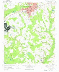
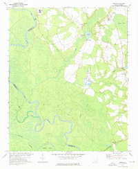
1972 Bennettsville North
Marlboro County, SC
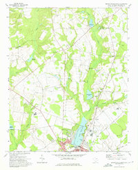
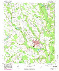
1972 Bennettsville South
Marlboro County, SC
1972 Bingham
Marlboro County, SC
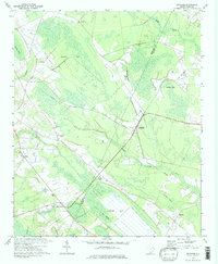
1972 Drake
Marlboro County, SC
1972 Mc Coll
Marlboro County, SC
1976 Mc Coll
Marlboro County, SC
2024 Bennettsville North
Marlboro County, SC
2024 Bennettsville South
Marlboro County, SC
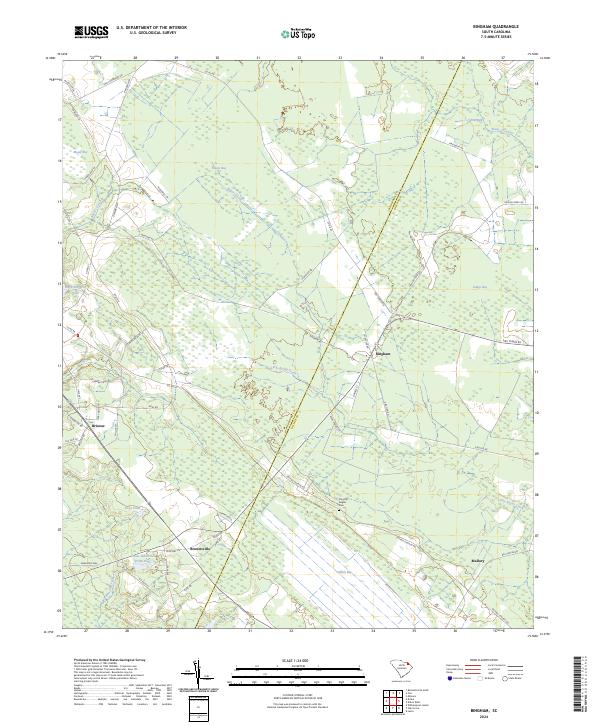
2024 Bingham
Marlboro County, SC
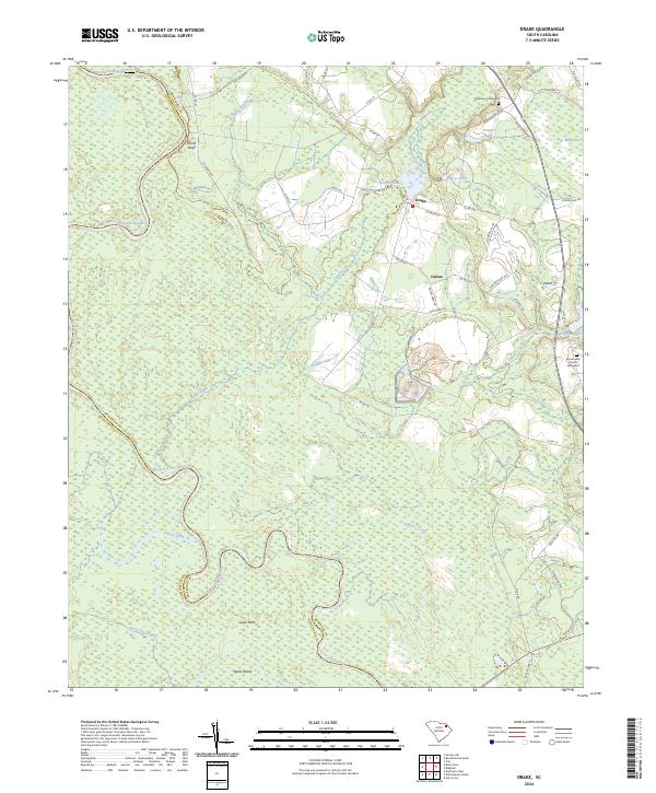
2024 Drake
Marlboro County, SC