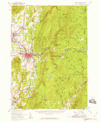
1954 Map of Bennington
USGS Topo · Published 1960About this map
Bennington serves as the focal point of this mid-century survey, shown alongside its historic core at Old Bennington and the prominent Battle Monument. The town's industrial and academic character is evident in the proximity of Paper Mill Village and Bennington College, while the Rutland Railroad tracks provide a vital link through the valley. The landscape transitions sharply from the developed corridor along the Walloomsac River to the high, forested peaks of the Green Mountain National Forest. High-altitude features like Glastenbury Mtn and the Long Trail underscore the region's wilderness character just miles from the settlement centers. Genealogists will find a wealth of local landmarks, including many family-named schools like Niles Sch and Barber Sch, and cemeteries such as Hinsdillville Cem and Townsley Cem.
Find a feature on this map
124 named features on this map. Tap any name to fly to it.
Don’t see what you’re looking for? This feature index may not catch every label — zoom into the map to look around manually.
Map Details
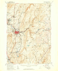
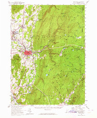
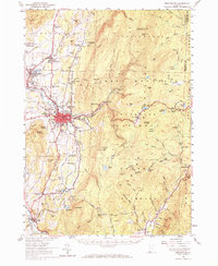
Editions of this 1954 Bennington Map
4 editions found
Other maps of this area

1886 · Greylock
USGS Topo · 1:62,500

1886 · Hawley
USGS Topo · 1:62,500

1888 · Berlin
USGS Topo · 1:62,500

1889 · Wilmington
USGS Topo · 1:62,500

1890 · Hawley
USGS Topo · 1:62,500

1890 · Berlin
USGS Topo · 1:62,500

1891 · Wilmington
USGS Topo · 1:62,500

1891 · Greylock
USGS Topo · 1:62,500

1893 · Greylock
USGS Topo · 1:62,500

1894 · Berlin
USGS Topo · 1:62,500