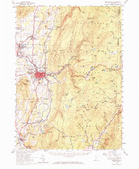
1954 Map of Bennington
USGS Topo · Published 1972About this map
Bennington stands as the primary hub of this 1950s survey, showing a landscape defined by industrial heritage and education. The map details the valley floor where the Rutland and Boston and Maine railroads intersect, supporting local industry and the expansion of North Bennington and Paper Mill Village. The presence of Bennington College and the Bennington Battle Monument underscores the area's cultural significance, while the surrounding high ground of the Green Mountains remains largely undeveloped, crossed by the Long Trail.
Find a feature on this map
104 named features on this map. Tap any name to fly to it.
Don’t see what you’re looking for? This feature index may not catch every label — zoom into the map to look around manually.
Map Details
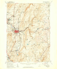
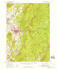
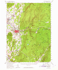
Editions of this 1954 Bennington Map
4 editions found
Other maps of this area

1886 · Greylock
USGS Topo · 1:62,500

1886 · Hawley
USGS Topo · 1:62,500

1888 · Berlin
USGS Topo · 1:62,500

1889 · Wilmington
USGS Topo · 1:62,500

1890 · Hawley
USGS Topo · 1:62,500

1890 · Berlin
USGS Topo · 1:62,500

1891 · Wilmington
USGS Topo · 1:62,500

1891 · Greylock
USGS Topo · 1:62,500

1893 · Greylock
USGS Topo · 1:62,500

1894 · Berlin
USGS Topo · 1:62,500