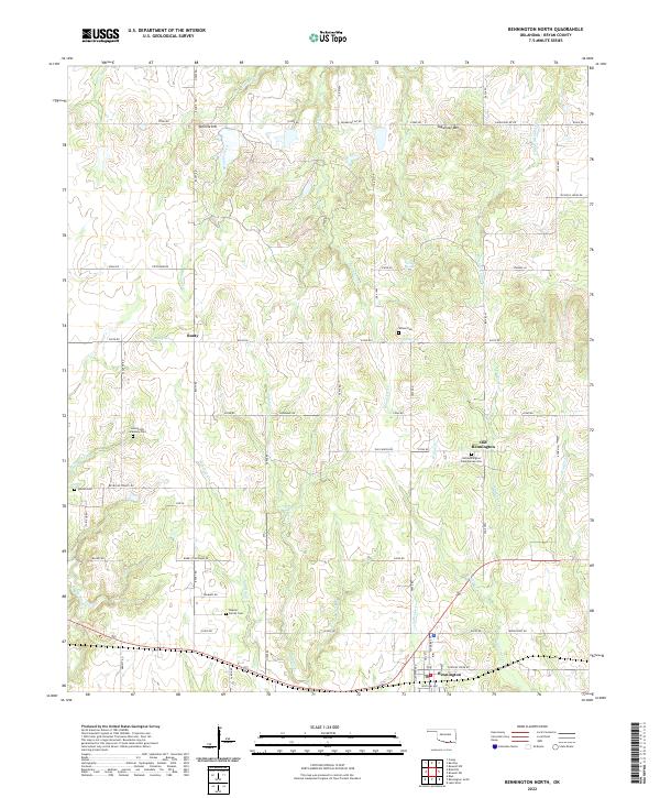
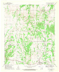
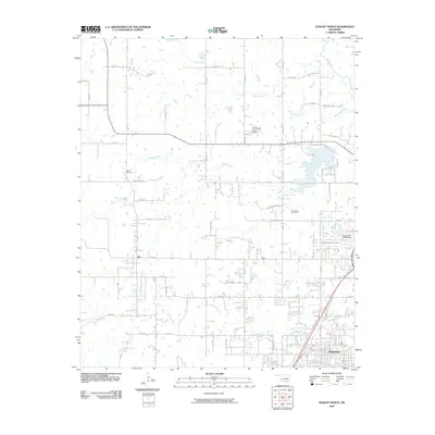
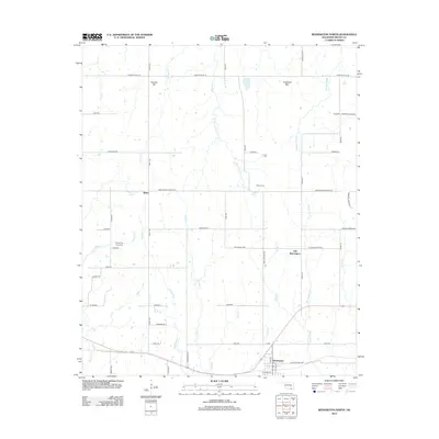
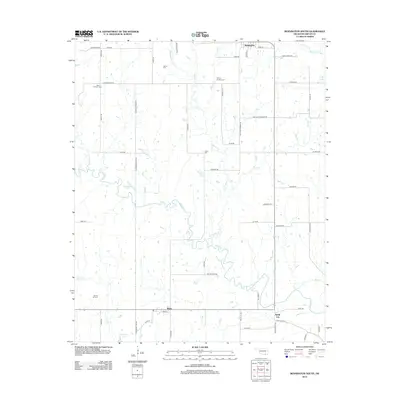
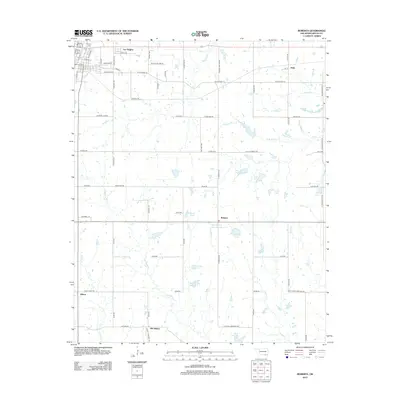
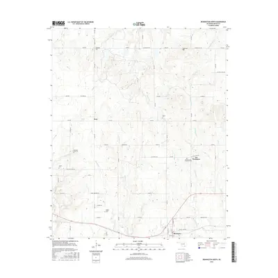
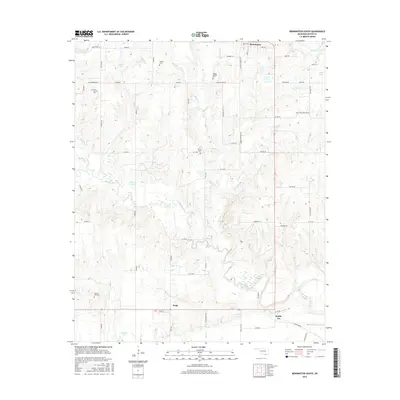
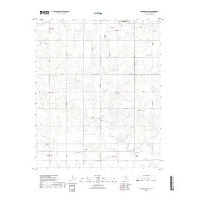
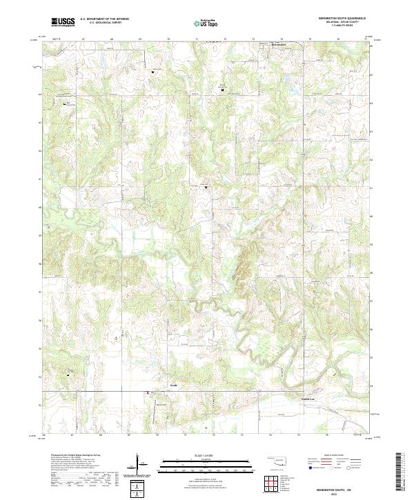
2022 Map of Bennington North
USGS Topo · Published 2022About this map
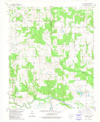
Old Bennington and the modern town of Bennington anchor this landscape in northern Bryan County, reflecting the deep history of the Choctaw Nation. The presence of the Armstrong Academy Cem points to the legacy of the local educational institution once established nearby, while the Old Bennington Presbyterian Cem and several family burial grounds, such as the Impson Family Cem, provide specific points of interest for genealogical research.
Find a feature on this map
66 named features on this map. Tap any name to fly to it.
Don’t see what you’re looking for? This feature index may not catch every label — zoom into the map to look around manually.
Map Details
Editions of this 2022 Bennington North Map
This is the sole edition of this map. No revisions or reprints were ever made.
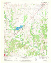
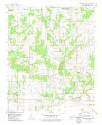
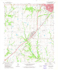
Historical Maps of Bennington Through Time
50 maps found
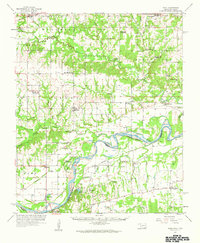
1957 Wade
Bryan County, OK
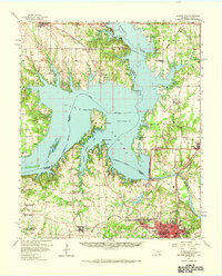
1958 Denison Dam
Bryan County, OK
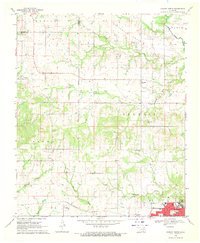
1968 Durant North
Bryan County, OK
1969 Bennington North
Bryan County, OK
1969 Caddo South
Bryan County, OK
1980 Bennington South
Bryan County, OK
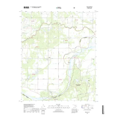
1980 Durant South
Bryan County, OK
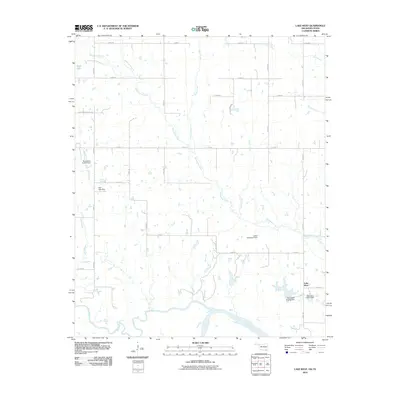
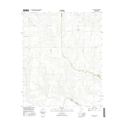
1980 Lake West
Bryan County, OK
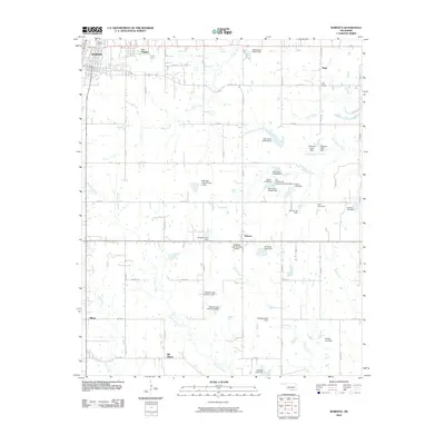
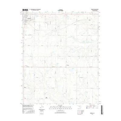
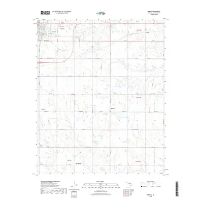
1980 Roberta
Bryan County, OK
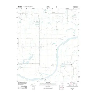
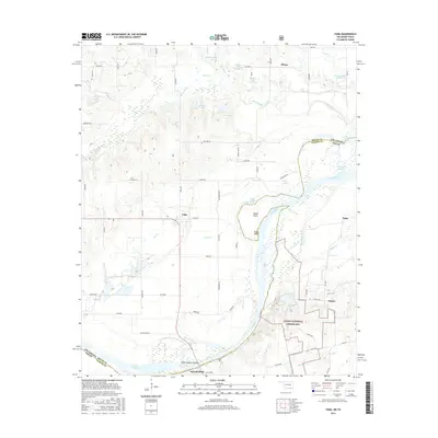
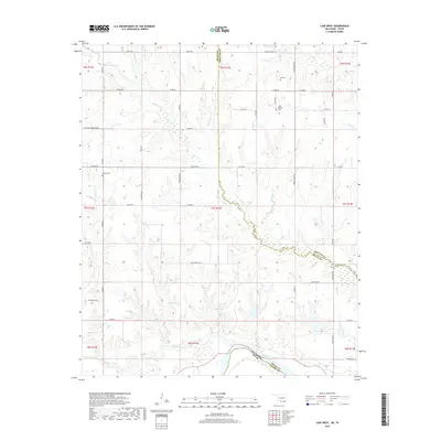
1980 Yuba
Bryan County, OK
2009 Bennington South
Bryan County, OK
2009 Durant North
Bryan County, OK
2009 Durant South
Bryan County, OK
2010 Bennington North
Bryan County, OK
2010 Caddo South
Bryan County, OK
2010 Lake West
Bryan County, OK
2010 Roberta
Bryan County, OK
2010 Yuba
Bryan County, OK
2012 Bennington North
Bryan County, OK
2012 Bennington South
Bryan County, OK
2012 Caddo South
Bryan County, OK
2012 Durant South
Bryan County, OK
2012 Roberta
Bryan County, OK
2012 Yuba
Bryan County, OK
2013 Durant North
Bryan County, OK
2013 Lake West
Bryan County, OK
2016 Bennington North
Bryan County, OK
2016 Bennington South
Bryan County, OK
2016 Caddo South
Bryan County, OK
2016 Durant North
Bryan County, OK
2016 Durant South
Bryan County, OK
2016 Lake West
Bryan County, OK
2016 Roberta
Bryan County, OK
2016 Yuba
Bryan County, OK
2018 Bennington North
Bryan County, OK
2018 Bennington South
Bryan County, OK
2018 Caddo South
Bryan County, OK
2018 Durant North
Bryan County, OK
2018 Durant South
Bryan County, OK
2018 Lake West
Bryan County, OK
2018 Roberta
Bryan County, OK
2018 Yuba
Bryan County, OK
2022 Bennington North
Bryan County, OK
2022 Bennington South
Bryan County, OK
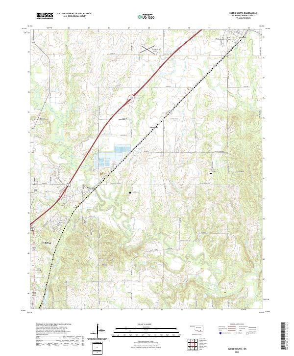
2022 Caddo South
Bryan County, OK
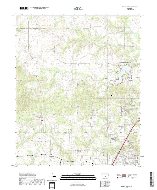
2022 Durant North
Bryan County, OK
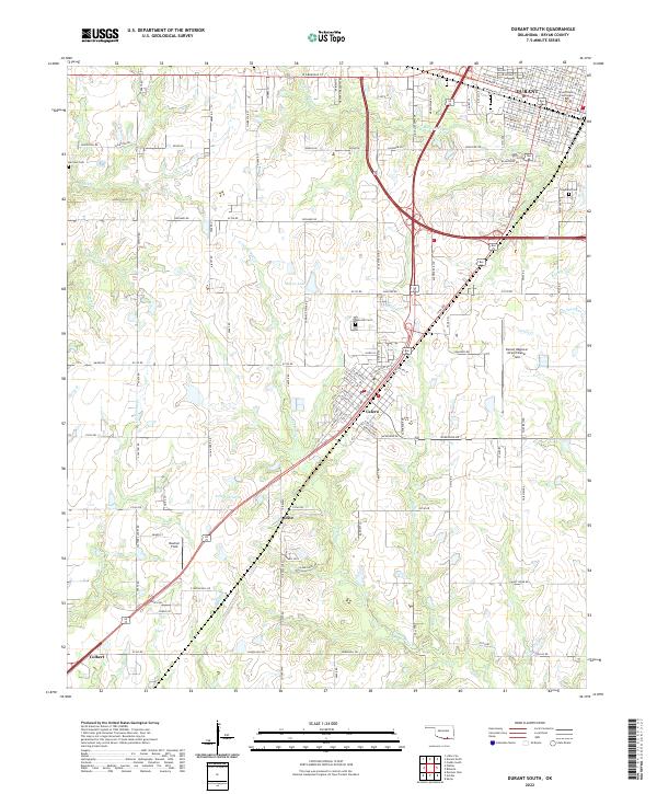
2022 Durant South
Bryan County, OK
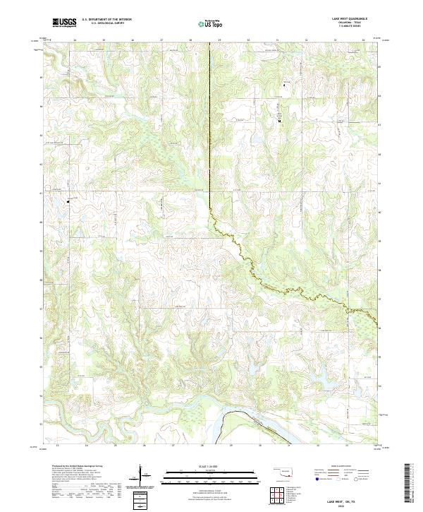
2022 Lake West
Bryan County, OK
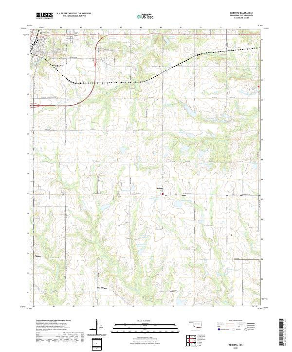
2022 Roberta
Bryan County, OK
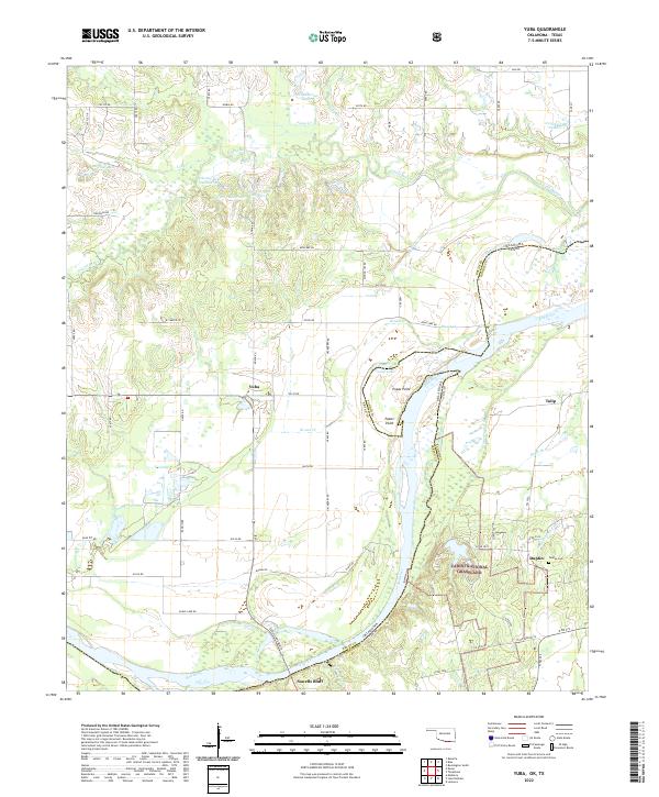
2022 Yuba
Bryan County, OK