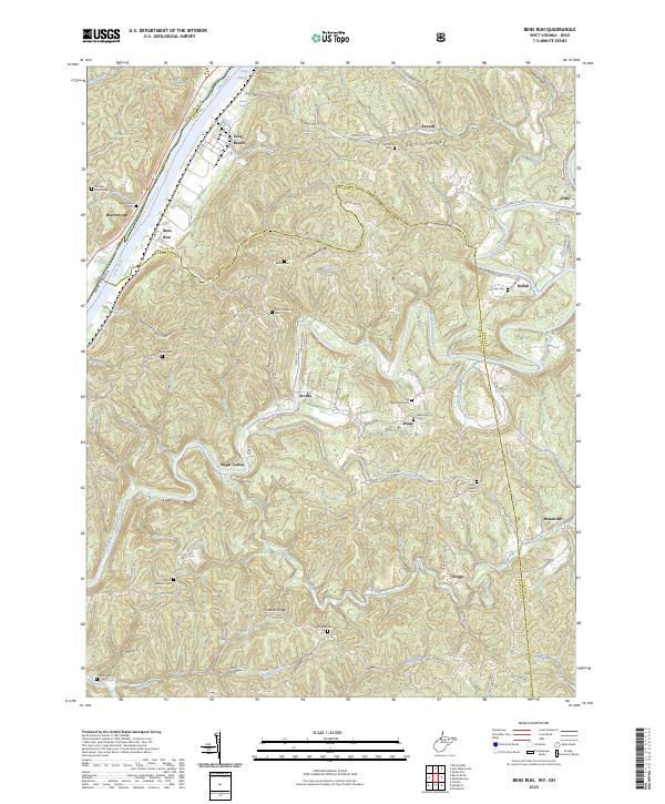
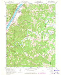
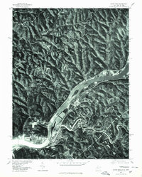
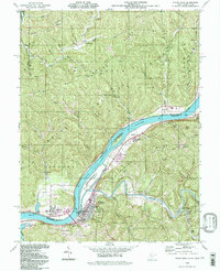
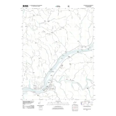
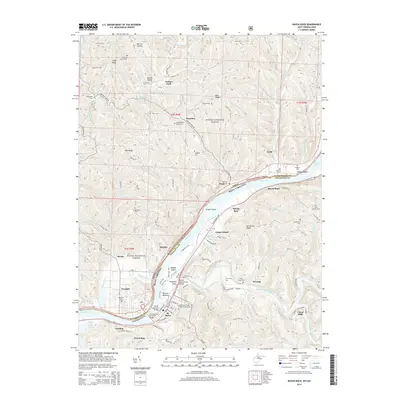
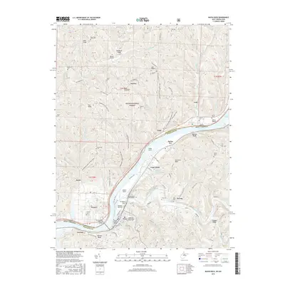
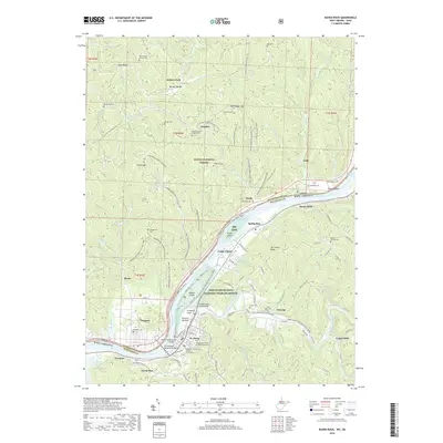
2023 Map of Bens Run
USGS Topo · Published 2023About this map
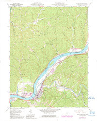
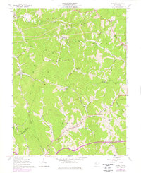
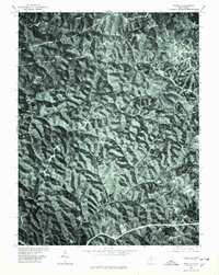
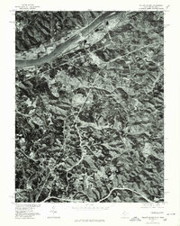
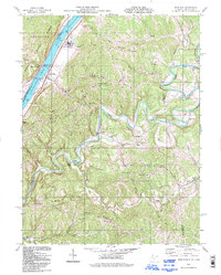
Middle Island Creek winds through the heart of this borderland between Pleasants and Tyler counties, carving a serpentine path through the ridges and valleys of West Virginia. The landscape is dotted with small rural settlements and family landmarks, including Arvilla, Sugar Valley, and Bens Run, the latter sitting along the banks of the Ohio River. This area is particularly rich for genealogical research, documenting numerous historical burial grounds like Mount Nebo Cem, Point Lookout Cem, and Bibbys Cem tucked into the hillsides.
Find a feature on this map
96 named features on this map. Tap any name to fly to it.
Don’t see what you’re looking for? This feature index may not catch every label — zoom into the map to look around manually.
Map Details
Editions of this 2023 Bens Run Map
This is the sole edition of this map. No revisions or reprints were ever made.
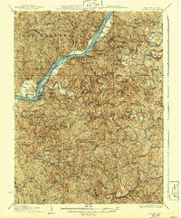
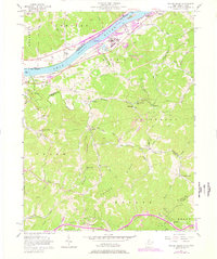
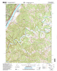
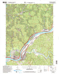
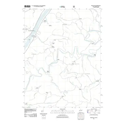
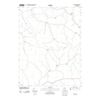
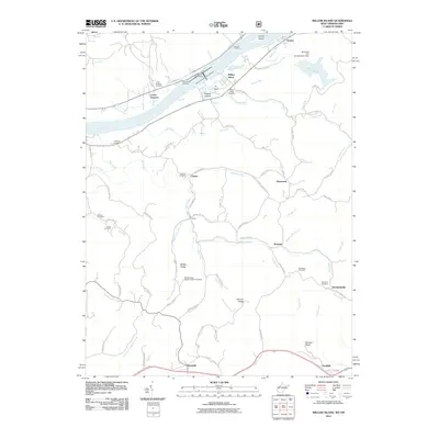
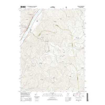
Historical Maps of Beavertown Through Time
37 maps found
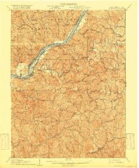
1906 St Marys
Pleasants County, WV

1924 St Marys
Pleasants County, WV
1927 St Marys
Pleasants County, WV
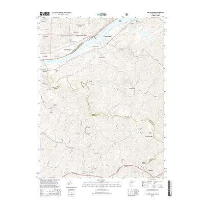
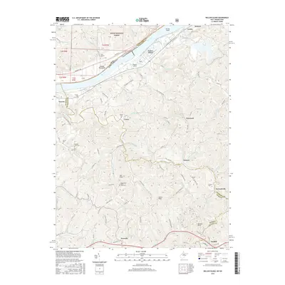
1957 Willow Island
Pleasants County, WV
1960 Bens Run
Pleasants County, WV
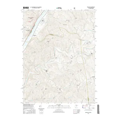
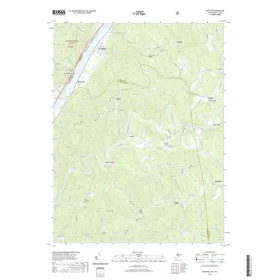
1961 Raven Rock
Pleasants County, WV
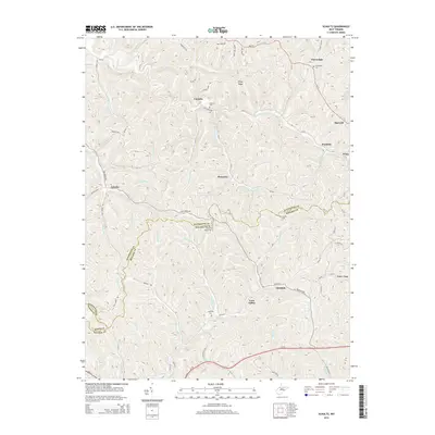
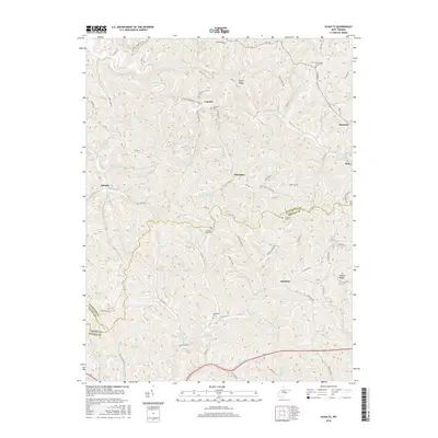
1961 Schultz
Pleasants County, WV
1975 Bens Run
Pleasants County, WV
1975 Raven Rock
Pleasants County, WV
1975 Schultz
Pleasants County, WV
1976 Willow Island
Pleasants County, WV
1994 Bens Run
Pleasants County, WV
1994 Raven Rock
Pleasants County, WV

1994 Willow Island
Pleasants County, WV
2002 Bens Run
Pleasants County, WV
2002 Raven Rock
Pleasants County, WV

2002 Willow Island
Pleasants County, WV
2011 Bens Run
Pleasants County, WV
2011 Raven Rock
Pleasants County, WV
2011 Schultz
Pleasants County, WV
2011 Willow Island
Pleasants County, WV
2014 Bens Run
Pleasants County, WV
2014 Raven Rock
Pleasants County, WV
2014 Schultz
Pleasants County, WV
2014 Willow Island
Pleasants County, WV
2016 Bens Run
Pleasants County, WV
2016 Raven Rock
Pleasants County, WV
2016 Schultz
Pleasants County, WV
2016 Willow Island
Pleasants County, WV
2019 Bens Run
Pleasants County, WV
2019 Raven Rock
Pleasants County, WV
2019 Schultz
Pleasants County, WV
2019 Willow Island
Pleasants County, WV
2023 Bens Run
Pleasants County, WV
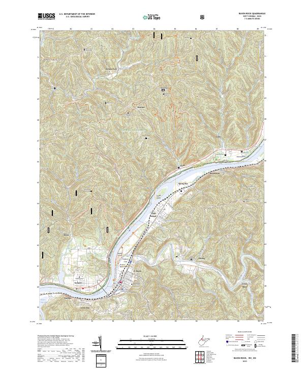
2023 Raven Rock
Pleasants County, WV
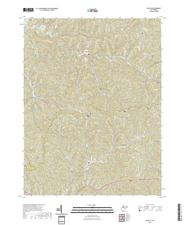
2023 Schultz
Pleasants County, WV
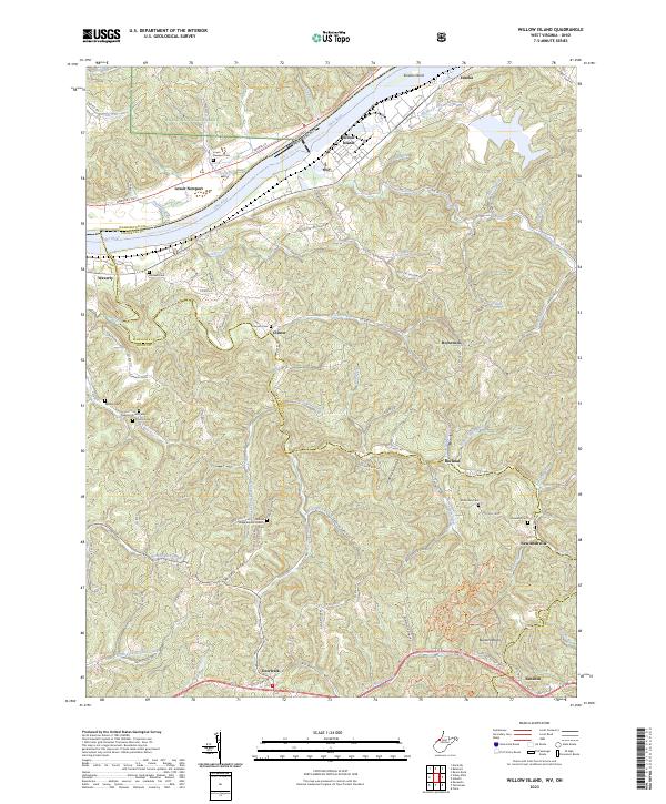
2023 Willow Island
Pleasants County, WV