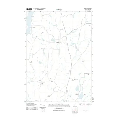
2012 Map of Benson
USGS Topo · Published 2012About this map
The Hubbardton River and Poultney River converge in this agricultural and wetland corridor along the Vermont and New York border. The town of Benson serves as a central hub, connected by a network of rural routes like Stage Rd and Old Route 22A. A high density of burial grounds, including Fair View Cem, Old Cem, and Hitchcock Cem, points to the long-established farming communities that have defined this landscape for generations. Along the western edge, Benson Landing marks the historic interface with Lake Champlain. The terrain is characterized by numerous small bodies of water such as Sunset Lake and Inman Pond, alongside distinctive elevations like Shaw Mountain and Porcupine Ridge. This geography, dominated by drainage into the Great Lake, has dictated the winding paths of roads like Root Pond Rd and River Rd.
Find a feature on this map
74 named features on this map. Tap any name to fly to it.
Don’t see what you’re looking for? This feature index may not catch every label — zoom into the map to look around manually.
Map Details
Editions of this 2012 Benson Map
This is the sole edition of this map. No revisions or reprints were ever made.
Other maps of this area

1893 · Whitehall
USGS Topo · 1:62,500

1894 · Ticonderoga
USGS Topo · 1:62,500

1895 · Whitehall
USGS Topo · 1:62,500

1895 · Castleton
USGS Topo · 1:62,500

1896 · Ticonderoga
USGS Topo · 1:62,500

1897 · Castleton
USGS Topo · 1:62,500

1898 · Whitehall
USGS Topo · 1:62,500

1902 · Whitehall
USGS Topo · 1:62,500

1902 · Ticonderoga
USGS Topo · 1:62,500

1902 · Brandon
USGS Topo · 1:62,500