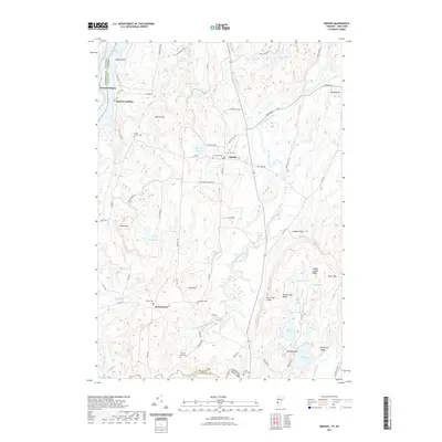
2021 Map of Benson
USGS Topo · Published 2021About this map
The Hubbardton River and Poultney River converge in this borderland between New York and Vermont, forming a landscape of wetlands and low hills east of Lake Champlain. The town of Benson serves as a central hub for the area's rural road network, which includes historic corridors like Stage Rd and Benson Rd. To the west, Benson Landing marks the long-standing connection to the lake, while Putnam Station sits across the water on the New York side.
Find a feature on this map
78 named features on this map. Tap any name to fly to it.
Don’t see what you’re looking for? This feature index may not catch every label — zoom into the map to look around manually.
Map Details
Editions of this 2021 Benson Map
This is the sole edition of this map. No revisions or reprints were ever made.
Other maps of this area

1893 · Whitehall
USGS Topo · 1:62,500

1894 · Ticonderoga
USGS Topo · 1:62,500

1895 · Whitehall
USGS Topo · 1:62,500

1895 · Castleton
USGS Topo · 1:62,500

1896 · Ticonderoga
USGS Topo · 1:62,500

1897 · Castleton
USGS Topo · 1:62,500

1898 · Whitehall
USGS Topo · 1:62,500

1902 · Whitehall
USGS Topo · 1:62,500

1902 · Ticonderoga
USGS Topo · 1:62,500

1902 · Brandon
USGS Topo · 1:62,500