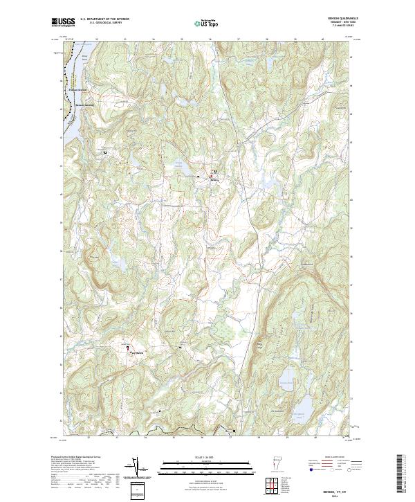
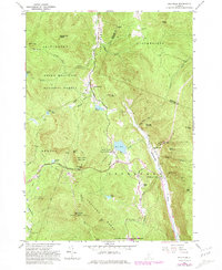
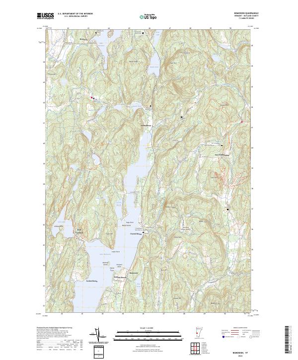
2024 Map of Benson
USGS Topo · Published 2024About this map
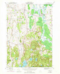
Benson and West Haven anchor this landscape along the eastern shores of Lake Champlain, where the border between New York and Vermont is defined by the water. The area is characterized by a high density of small family and community burial grounds, such as Carter Street Cem, Fair View Cem, and the Old Cem. These sites, alongside landmarks like Putnam Station and Benson Landing, trace the settlement patterns of Rutland and Washington Counties. The terrain transitions from the lowlands of East Bay and the Hubbardton River to prominent rises like Rattlesnake Ridge and Mt Hamilton. The southern portion of the map is shaped by the winding Poultney River, featuring the Carver Falls Cem near the riverbanks. This 2024 survey detail reveals a rural network of roads like Goodrich Crossroad and Money Hole Rd that connect the scattered wetlands of Strong Swamp and Cranberry Swamp to the historic village centers.
Find a feature on this map
75 named features on this map. Tap any name to fly to it.
Don’t see what you’re looking for? This feature index may not catch every label — zoom into the map to look around manually.
Map Details
Editions of this 2024 Benson Map
This is the sole edition of this map. No revisions or reprints were ever made.
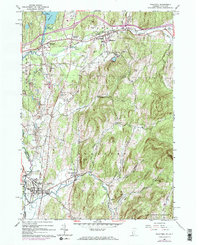
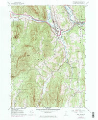
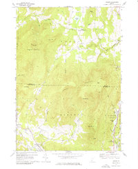
Historical Maps of Putnam Station Through Time
39 maps found
1893 Wallingford
Rutland County, VT

1895 Castleton
Rutland County, VT

1897 Castleton
Rutland County, VT
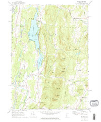
1944 Bomoseen
Rutland County, VT
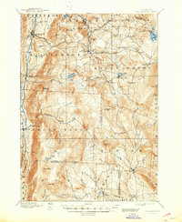
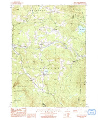
1946 Benson
Rutland County, VT

1946 Brandon
Rutland County, VT
1946 Sudbury
Rutland County, VT

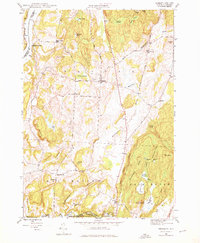
1948 Benson
Rutland County, VT
1948 Sudbury
Rutland County, VT
1955 Wallingford
Rutland County, VT
1961 Killington Peak
Rutland County, VT
1961 Pico Peak
Rutland County, VT
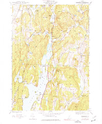
1964 Poultney
Rutland County, VT
1964 West Rutland
Rutland County, VT
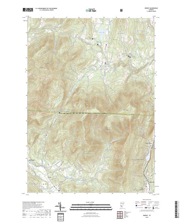
1967 Dorset
Rutland County, VT
1967 Wells
Rutland County, VT

1970 Mount Carmel
Rutland County, VT
1986 Mount Holly
Rutland County, VT

1986 Wallingford
Rutland County, VT

1997 Brandon
Rutland County, VT

1997 Dorset
Rutland County, VT

1997 Killington Peak
Rutland County, VT

1997 Mount Carmel
Rutland County, VT

1997 Mount Holly
Rutland County, VT

1997 Pico Peak
Rutland County, VT

1997 Wallingford
Rutland County, VT
2024 Benson
Rutland County, VT
2024 Bomoseen
Rutland County, VT
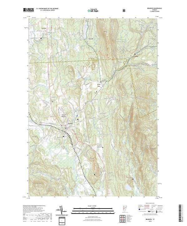
2024 Brandon
Rutland County, VT
2024 Dorset
Rutland County, VT
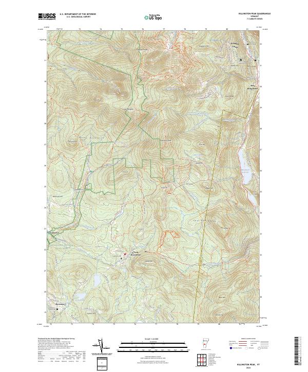
2024 Killington Peak
Rutland County, VT
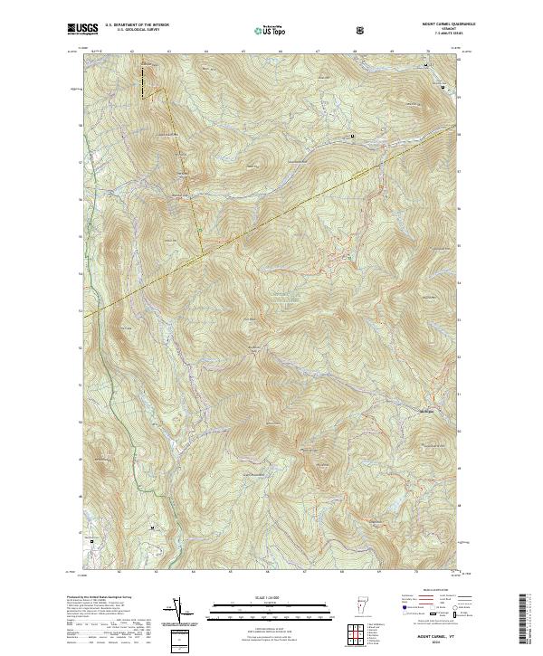
2024 Mount Carmel
Rutland County, VT
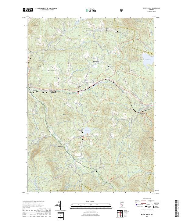
2024 Mount Holly
Rutland County, VT
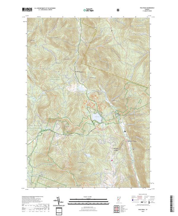
2024 Pico Peak
Rutland County, VT
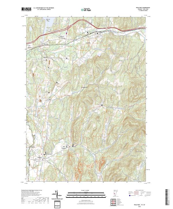
2024 Poultney
Rutland County, VT
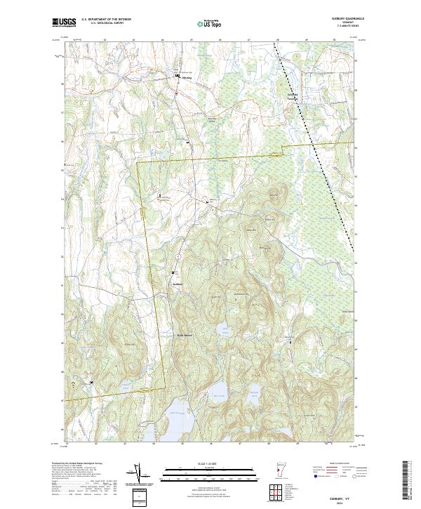
2024 Sudbury
Rutland County, VT
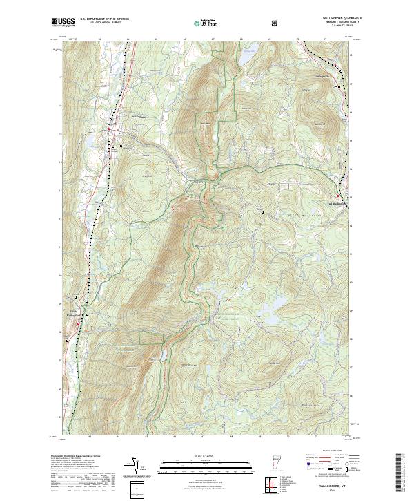
2024 Wallingford
Rutland County, VT
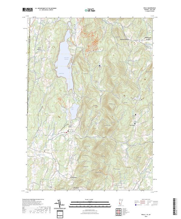
2024 Wells
Rutland County, VT
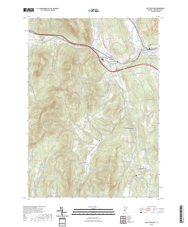
2024 West Rutland
Rutland County, VT