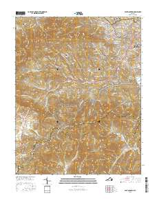
2016 Map of Bent Mountain
USGS Topo · Published 2016About this map
The Blue Ridge crest dominates this landscape south of Roanoke, where the winding Blue Ridge Parkway traces the high ground between Hemppatch Mtn and Poor Mtn. In the valley to the north, the community of Cave Spring marks a transition from suburban Roanoke toward the more rural character of Poages Mill and Starkey. High atop the plateau, the settlement of Bent Mountain sits near the headwaters of several drainages, illustrating how topography dictated the early road networks through Lancaster Gap and Slings Gap.
Find a feature on this map
46 named features on this map. Tap any name to fly to it.
Don’t see what you’re looking for? This feature index may not catch every label — zoom into the map to look around manually.
Map Details
Editions of this 2016 Bent Mountain Map
This is the sole edition of this map. No revisions or reprints were ever made.
Other maps of this area

1890 · Roanoke
USGS Topo · 1:125,000

1890 · Christiansburg
USGS Topo · 1:125,000

1891 · Roanoke
USGS Topo · 1:125,000

1929 · Roanoke
USGS Topo · 1:48,000

1929 · Salem
USGS Topo · 1:48,000

1932 · Salem
USGS Topo · 1:62,500

1933 · Roanoke
USGS Topo · 1:62,500

1947 · Roanoke
USGS Topo · 1:250,000

1950 · Elliston
USGS Topo · 1:62,500

1951 · Boones Mill
USGS Topo · 1:62,500