
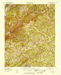
1951 Map of Boones Mill
USGS Topo · Published 1953About this map
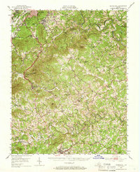
Roanoke and Garden City anchor the northern edge of this terrain, where the Blue Ridge mountains drop toward the rural heart of Franklin County. The early 1950s landscape is defined by a dense network of country roads connecting small communities like Boones Mill and Gogginsville. This survey preserves the locations of numerous local institutions, from Boones Chapel and Germantown Ch to rural education centers like Redwood Sch and Bellevue Sch. Along the watercourses, the presence of Piedmont Mill and Dillon Mill points to an era of localized river-driven industry, while the Radio Range Sta (CAA) near Red Hill Ch marks the integration of modern aviation infrastructure into the Blue Ridge foothills. The southern boundary reaches Rocky Mount, illustrating the transition from the steep grades of Cahas Mtn to the plateau where the Blackwater River and Poplar Camp Creek begin their winding courses.
Find a feature on this map
95 named features on this map. Tap any name to fly to it.
Don’t see what you’re looking for? This feature index may not catch every label — zoom into the map to look around manually.
Map Details
Editions of this 1951 Boones Mill Map
Other maps of this area

1890 · Roanoke
USGS Topo · 1:125,000

1890 · Christiansburg
USGS Topo · 1:125,000

1891 · Roanoke
USGS Topo · 1:125,000

1922 · Callands
USGS Topo · 1:48,000

1924 · Callands
USGS Topo · 1:62,500

1925 · Rocky Mount
USGS Topo · 1:48,000

1927 · Rocky Mount
USGS Topo · 1:62,500

1929 · Roanoke
USGS Topo · 1:48,000

1929 · Salem
USGS Topo · 1:48,000

1932 · Salem
USGS Topo · 1:62,500