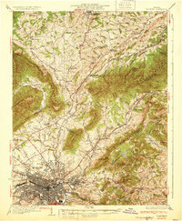
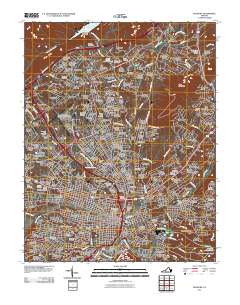
1933 Map of Roanoke
USGS Topo · Published 1933About this map
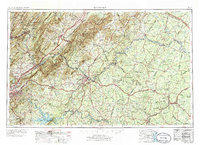
Roanoke serves as the industrial and rail hub of this 1933 landscape, where the Norfolk and Western railway lines converge along the Roanoke River. The map captures a moment when the city was expanding toward Vinton and Riverdale, while the surrounding Botetourt and Bedford counties remained largely agricultural, dotted with dozens of neighborhood schools like Gravel Hill Sch and Pleasantdale Sch. To the north, Hollins College stands as a prominent landmark near the community of Hollins, illustrating the established educational presence in the valley.
Find a feature on this map
87 named features on this map. Tap any name to fly to it.
Don’t see what you’re looking for? This feature index may not catch every label — zoom into the map to look around manually.
Map Details
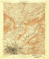
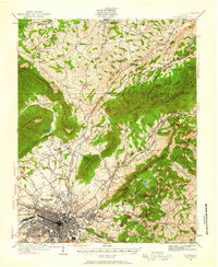
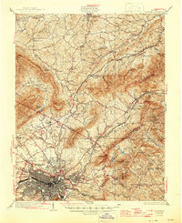
Editions of this 1933 Roanoke Map
3 editions found
Historical Maps of Roanoke Through Time
15 maps found

1890 Roanoke
Roanoke City County, VA
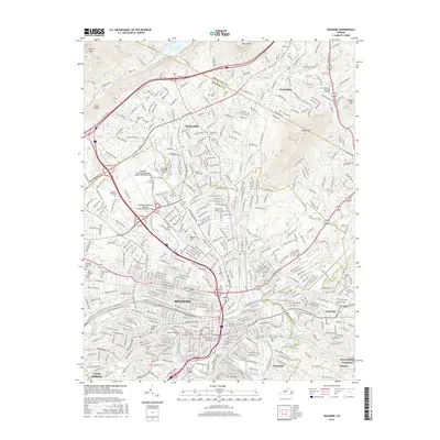
1929 Roanoke
Roanoke City County, VA
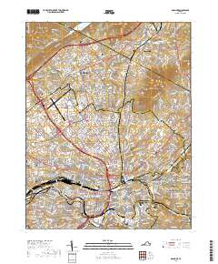
1933 Roanoke
Roanoke City County, VA

1947 Roanoke
Roanoke City County, VA

1959 Roanoke
Roanoke City County, VA
1962 Roanoke
Roanoke City County, VA

1963 Roanoke
Roanoke City County, VA
1963 Roanoke
Roanoke City County, VA
1971 Roanoke
Roanoke City County, VA
1977 Roanoke
Roanoke City County, VA
2011 Roanoke
Roanoke City County, VA

2013 Roanoke
Roanoke City County, VA
2016 Roanoke
Roanoke City County, VA
2019 Roanoke
Roanoke City County, VA
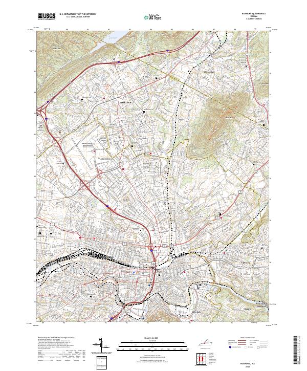
2022 Roanoke
Roanoke City County, VA