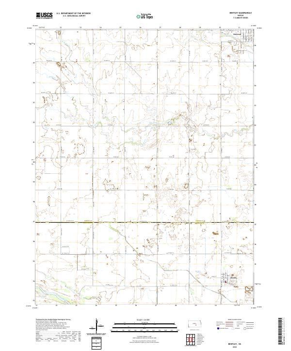
2022 Map of Bentley
USGS Topo · Published 2022About this map
The Arkansas River winds through the southwestern corner of this agricultural landscape along the border of Harvey and Sedgwick Counties. The settlement of Bentley serves as a primary local hub in the south, while the southern portion of Halstead is visible at the northern edge, with its residential grid defined by Chestnut St, Main St, and Spruce St. The terrain is characterized by the drainage patterns of Kisiwa Cr and its northern branch, N Br Kisiwa Cr, which cut through the sectioned farm plots. This modern survey illustrates the persistent importance of the township and range system in Central Kansas, where a dense network of county roads like Co Rd 793 and W 125th St N provide access to the expansive rural acreage surrounding these small communities.
Find a feature on this map
46 named features on this map. Tap any name to fly to it.
Don’t see what you’re looking for? This feature index may not catch every label — zoom into the map to look around manually.
Map Details
Editions of this 2022 Bentley Map
This is the sole edition of this map. No revisions or reprints were ever made.
Other maps of this area

1889 · Newton
USGS Topo · 1:125,000

1889 · Cheney
USGS Topo · 1:125,000

1889 · Wichita
USGS Topo · 1:125,000

1891 · Hutchinson
USGS Topo · 1:125,000

1891 · Cheney
USGS Topo · 1:125,000

1893 · Hutchinson
USGS Topo · 1:125,000

1894 · Wichita
USGS Topo · 1:125,000

1894 · Newton
USGS Topo · 1:125,000

1901 · Cheney
USGS Topo · 1:125,000

1941 · Maize
USGS Topo · 1:31,680