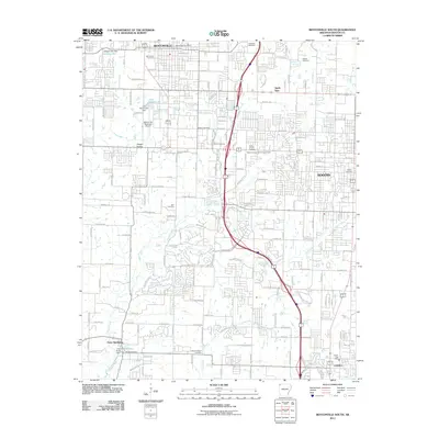
2011 Map of Bentonville South
USGS Topo · Published 2011About this map
Bentonville and Rogers dominate this Northwest Arkansas landscape, showing the dense suburban development and road networks that characterized the region in the early 21st century. The map centers on the corridor between these two growing cities, where older landmarks like the Bentonville Cemetery and Jefferson Cemetery sit amidst modern infrastructure. In the south, Cave Springs and Lowell mark the expansion of the metropolitan area toward the county line.
Find a feature on this map
177 named features on this map. Tap any name to fly to it.
Don’t see what you’re looking for? This feature index may not catch every label — zoom into the map to look around manually.
Map Details
Editions of this 2011 Bentonville South Map
This is the sole edition of this map. No revisions or reprints were ever made.
Other maps of this area

1899 · Fayetteville
USGS Topo · 1:125,000

1901 · Fayetteville
USGS Topo · 1:125,000

1904 · Fayetteville
USGS Topo · 1:125,000

1954 · Tulsa
USGS Topo · 1:250,000

1958 · Sonora
USGS Topo · 1:24,000

1958 · Rogers
USGS Topo · 1:24,000

1958 · Pea Ridge
USGS Topo · 1:24,000

1958 · Tulsa
USGS Topo · 1:250,000

1963 · Tulsa
USGS Topo · 1:250,000

1970 · Robinson
USGS Topo · 1:24,000