
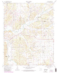
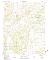
1970 Map of Robinson
USGS Topo · Published 1972About this map
Tontitown and Robinson anchor this survey of Northwest Arkansas, where the landscape is defined by the winding course of Osage Creek and its many tributaries. The area reflects a deeply rooted rural community structure, characterized by a high density of small country churches and family burial grounds like Yell Cem. A significant portion of the southern terrain is dedicated to the Ozark National Forest, while institutional land use is represented by the University of Arkansas Agricultural Experiment Station near the southern boundary. The network of rural routes, including State Route 68, connects small settlements such as Harmon and Graves to the agricultural and research hubs of the region. This 1970 snapshot records the upland hydrology of the Illinois River basin before the accelerated suburban expansion of the late 20th century transformed these crossroads communities.
Find a feature on this map
34 named features on this map. Tap any name to fly to it.
Don’t see what you’re looking for? This feature index may not catch every label — zoom into the map to look around manually.
Map Details
Editions of this 1970 Robinson Map
3 editions found
Other maps of this area

1899 · Fayetteville
USGS Topo · 1:125,000

1901 · Fayetteville
USGS Topo · 1:125,000

1904 · Fayetteville
USGS Topo · 1:125,000

1954 · Tulsa
USGS Topo · 1:250,000

1958 · Fayetteville
USGS Topo · 1:24,000

1958 · Tulsa
USGS Topo · 1:250,000

1963 · Tulsa
USGS Topo · 1:250,000

1970 · Gallatin
USGS Topo · 1:24,000
1970 · Bentonville South
USGS Topo · 1:24,000
1970 · Wheeler
USGS Topo · 1:24,000