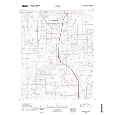
2020 Map of Bentonville South
USGS Topo · Published 2020About this map
The Benton County Courthouse anchors this survey of a rapidly expanding metropolitan corridor in Northwest Arkansas, where the urban footprints of Bentonville, Rogers, and Lowell converge. The landscape is a mix of dense residential development and critical infrastructure, featuring Bentonville Municipal Airport/Louise M Thaden Field and the campus of NorthWest Arkansas Community College. The transition from city blocks to rural character is evident toward the south near Cave Springs and the Monte Ne Valley.
Find a feature on this map
46 named features on this map. Tap any name to fly to it.
Don’t see what you’re looking for? This feature index may not catch every label — zoom into the map to look around manually.
Map Details
Editions of this 2020 Bentonville South Map
This is the sole edition of this map. No revisions or reprints were ever made.
Other maps of this area

1899 · Fayetteville
USGS Topo · 1:125,000

1901 · Fayetteville
USGS Topo · 1:125,000

1904 · Fayetteville
USGS Topo · 1:125,000

1954 · Tulsa
USGS Topo · 1:250,000

1958 · Sonora
USGS Topo · 1:24,000

1958 · Rogers
USGS Topo · 1:24,000

1958 · Pea Ridge
USGS Topo · 1:24,000

1958 · Tulsa
USGS Topo · 1:250,000

1963 · Tulsa
USGS Topo · 1:250,000

1970 · Robinson
USGS Topo · 1:24,000