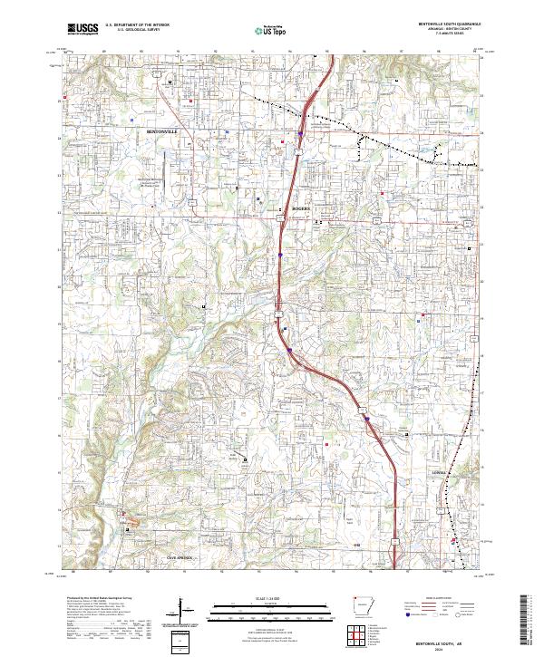
2024 Map of Bentonville South
USGS Topo · Published 2024About this map
Bentonville and Rogers dominate the northern half of this contemporary survey, reflecting the intensive development of the Northwest Arkansas corridor. The map tracks the suburban expansion connecting these primary hubs with Lowell and Cave Springs to the south. Local heritage remains visible through numerous family and community burial grounds, such as Bentonville Cem, Woods Cem, and Goad Springs Cem, which are preserved amidst the modern street grid. Aviation history is anchored by the Bentonville Municipal Airport/Louise M Thaden Field, named for the pioneering female aviator. The natural drainage of the region, including Osage Creek and Puppy Creek, winds through the residential blocks and commercial corridors, illustrating the persistence of original watercourses in an increasingly urbanized landscape. Educational and civic infrastructure, like NorthWest Arkansas Community College, serves as a modern landmark in this rapidly evolving metropolitan area.
Find a feature on this map
39 named features on this map. Tap any name to fly to it.
Don’t see what you’re looking for? This feature index may not catch every label — zoom into the map to look around manually.
Map Details
Editions of this 2024 Bentonville South Map
This is the sole edition of this map. No revisions or reprints were ever made.
Other maps of this area

1899 · Fayetteville
USGS Topo · 1:125,000

1901 · Fayetteville
USGS Topo · 1:125,000

1904 · Fayetteville
USGS Topo · 1:125,000

1954 · Tulsa
USGS Topo · 1:250,000

1958 · Sonora
USGS Topo · 1:24,000

1958 · Rogers
USGS Topo · 1:24,000

1958 · Pea Ridge
USGS Topo · 1:24,000

1958 · Tulsa
USGS Topo · 1:250,000

1963 · Tulsa
USGS Topo · 1:250,000

1970 · Robinson
USGS Topo · 1:24,000