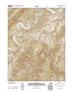
2013 Map of Bentonville
USGS Topo · Published 2013About this map
The S Fork Shenandoah River carves a deep path through Page Valley, defining the transport and settlement patterns of this Virginia landscape. This survey documents the area around Bentonville, where historic crossings like McCoys Ford and Burners Ford once facilitated movement across the water. The infrastructure of the era is represented by the Indian Hollow Bridge and several active river access points including Bentonville Landing and Karo Landing. Moving away from the river, the terrain rises sharply toward Allens Mountain and Broadus Mountain, with agricultural life centered on named properties such as Buck Mountain Farm and Sycamore Spring Farm. The presence of Camp Skymont and the Little Crease Shelter reflects the region's long-standing connection to outdoor recreation and the proximity of the Blue Ridge mountain range.
Find a feature on this map
120 named features on this map. Tap any name to fly to it.
Don’t see what you’re looking for? This feature index may not catch every label — zoom into the map to look around manually.
Map Details
Editions of this 2013 Bentonville Map
This is the sole edition of this map. No revisions or reprints were ever made.
Other maps of this area

1893 · Luray
USGS Topo · 1:125,000

1905 · Luray
USGS Topo · 1:125,000

1929 · Stony Man
USGS Topo · 1:48,000

1933 · Stony Man
USGS Topo · 1:62,500

1939 · Front Royal
USGS Topo · 1:48,000

1944 · Front Royal
USGS Topo · 1:62,500

1947 · Strasburg
USGS Topo · 1:62,500

1949 · Charlottesville
USGS Topo · 1:250,000

1950 · Strasburg
USGS Topo · 1:62,500

1956 · Charlottesville
USGS Topo · 1:250,000