
1947 Map of Strasburg
USGS Topo · Published 1955About this map
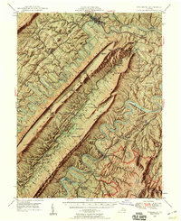
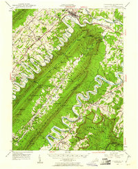
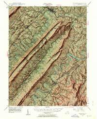
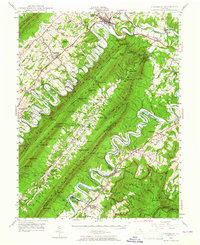
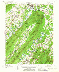
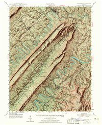
Strasburg and the dramatic meanders of the North Fork Shenandoah River dominate this landscape during the mid-1940s. The map captures the complex topography of Massanutten Mountain, where Passage Creek flows through the secluded Fort Valley, connecting small settlements like Seven Fountains and Detrick. This era shows the convergence of the Southern Railway and the Norfolk and Western Railway, marking the region's importance as a transportation corridor between the Blue Ridge and the Alleghenies.
Find a feature on this map
133 named features on this map. Tap any name to fly to it.
Don’t see what you’re looking for? This feature index may not catch every label — zoom into the map to look around manually.
Map Details
Editions of this 1947 Strasburg Map
7 editions found
Other maps of this area

1891 · Romney
USGS Topo · 1:125,000

1892 · Woodstock
USGS Topo · 1:125,000

1893 · Luray
USGS Topo · 1:125,000

1894 · Winchester
USGS Topo · 1:125,000

1905 · Luray
USGS Topo · 1:125,000

1922 · Wardensville
USGS Topo · 1:62,500

1923 · Middletown
USGS Topo · 1:62,500

1923 · Edinburg
USGS Topo · 1:62,500

1924 · Wardensville
USGS Topo · 1:62,500

1929 · Stony Man
USGS Topo · 1:48,000