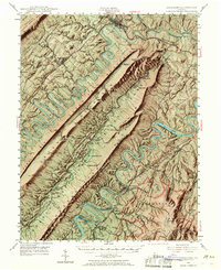
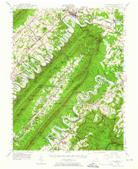
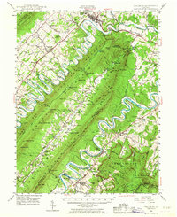
1947 Map of Strasburg
USGS Topo · Published 1968About this map
Strasburg and the winding coils of the North Fork Shenandoah River dominate this post-war landscape of the Shenandoah Valley. The terrain is defined by the massive ridge systems of Massanutten Mountain and Three Top Mountain, which create isolated valleys and natural gaps like Boyer Gap and Mine Gap. Local transportation is anchored by the Southern Railway and the historic Valley Pike, while the Norfolk and Western Railway serves the eastern settlements of Bentonville and Rileyville. Cultural life is marked by numerous country churches, including Saint Davids Church and Bethel Ch, alongside small communities like Seven Fountains and Fishers Hill. The map captures the early development of the Skyline Drive and the George Washington National Forest, showing the intersection of agricultural river bottoms and preserved mountain wilderness at the edge of High Peak.
Find a feature on this map
122 named features on this map. Tap any name to fly to it.
Don’t see what you’re looking for? This feature index may not catch every label — zoom into the map to look around manually.
Map Details
Editions of this 1947 Strasburg Map
7 editions found

Other maps of this area

1891 · Romney
USGS Topo · 1:125,000

1892 · Woodstock
USGS Topo · 1:125,000

1893 · Luray
USGS Topo · 1:125,000

1894 · Winchester
USGS Topo · 1:125,000

1905 · Luray
USGS Topo · 1:125,000

1922 · Wardensville
USGS Topo · 1:62,500

1923 · Middletown
USGS Topo · 1:62,500

1923 · Edinburg
USGS Topo · 1:62,500

1924 · Wardensville
USGS Topo · 1:62,500

1929 · Stony Man
USGS Topo · 1:48,000