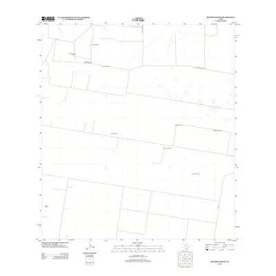
2012 Map of Bentsen Ranch
USGS Topo · Published 2012About this map
Bentsen Ranch and its surrounding ranchlands characterize this portion of Hidalgo County, where water infrastructure and energy extraction define the landscape. The distribution of scattered water sources, including the Loraleno Windmill, Guarcahe Windmill, and La Matansa Windmill, illustrates the vital necessity of groundwater for cattle operations in this arid region. These named landmarks, often the only distinct features across large fenced tracts, serve as primary navigational points for local land management.
Find a feature on this map
13 named features on this map. Tap any name to fly to it.
Don’t see what you’re looking for? This feature index may not catch every label — zoom into the map to look around manually.
Map Details
Editions of this 2012 Bentsen Ranch Map
This is the sole edition of this map. No revisions or reprints were ever made.
Other maps of this area
1938 · Sal Colorada
USGS Topo · 1:62,500
1939 · La Reforma
USGS Topo · 1:62,500
1940 · Monte Christo
USGS Topo · 1:62,500
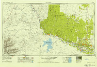
1949 · Mc Allen
USGS Topo · 1:250,000
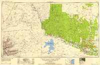
1954 · McAllen
USGS Topo · 1:250,000
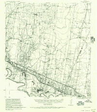
1956 · Garcias
USGS Topo · 1:62,500
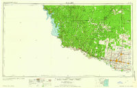
1957 · Mc Allen
USGS Topo · 1:250,000
1962 · McAllen
USGS Topo · 1:250,000
1963 · Monte Christo
USGS Topo · 1:24,000
1963 · McCook
USGS Topo · 1:24,000