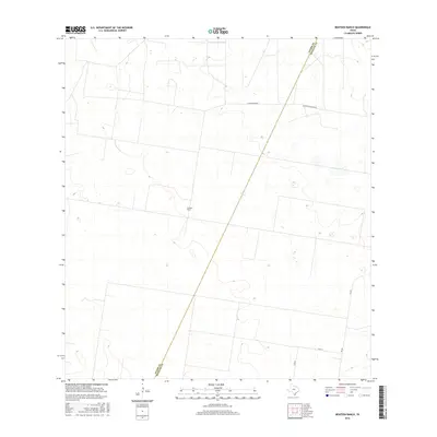
2016 Map of Bentsen Ranch
USGS Topo · Published 2016About this map
Bentsen Ranch sits at the center of this South Texas landscape, defined by the long-established ranching boundaries and scrubland of the Rio Grande Valley hinterlands. A striking diagonal boundary line marks the division between Starr and Hidalgo counties, slicing through a geometric grid of rural routes and property lines. The transport network reflects the area's agricultural and ranching dependencies, with primary access provided by FM 681 and a series of county roads like La Guajolota Rd and Guasolota Ranch Rd. This 2016 survey documents the land as it appeared in the mid-2010s, showing a terrain shaped by large-scale landholdings and irrigation patterns typical of the borderlands north of the Rio Grande. The sparse distribution of named settlements emphasizes the importance of private ranching hubs in this part of Hidalgo County.
Find a feature on this map
7 named features on this map. Tap any name to fly to it.
Don’t see what you’re looking for? This feature index may not catch every label — zoom into the map to look around manually.
Map Details
Editions of this 2016 Bentsen Ranch Map
This is the sole edition of this map. No revisions or reprints were ever made.
Other maps of this area
1938 · Sal Colorada
USGS Topo · 1:62,500
1939 · La Reforma
USGS Topo · 1:62,500
1940 · Monte Christo
USGS Topo · 1:62,500
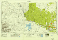
1949 · Mc Allen
USGS Topo · 1:250,000
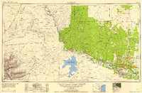
1954 · McAllen
USGS Topo · 1:250,000
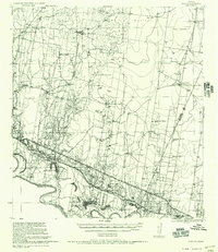
1956 · Garcias
USGS Topo · 1:62,500
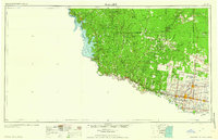
1957 · Mc Allen
USGS Topo · 1:250,000
1962 · McAllen
USGS Topo · 1:250,000
1963 · Monte Christo
USGS Topo · 1:24,000
1963 · McCook
USGS Topo · 1:24,000