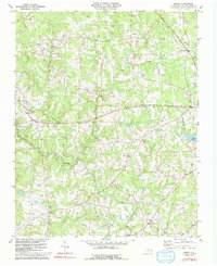
1981 Map of Berea
USGS Topo · Published 1992About this map
Berea serves as a central hub in this Granville County landscape, where the rural character of the North Carolina Piedmont is defined by a dense network of country churches and small crossroads. The community of Culbreth lies to the south, while Kinton Fork and Hester mark the northern reaches of the quadrangle. Many of these settlements are anchored by historic congregations such as Hebron Ch, River Zion Ch, and New Hope Ch, reflecting the deep-seated social geography of the area.
Find a feature on this map
30 named features on this map. Tap any name to fly to it.
Don’t see what you’re looking for? This feature index may not catch every label — zoom into the map to look around manually.
Map Details
Editions of this 1981 Berea Map
2 editions found
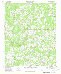
Other maps of this area

1943 · Roxboro
USGS Topo · 1:62,500

1943 · Creedmoor
USGS Topo · 1:62,500

1944 · Creedmoor
USGS Topo · 1:62,500

1951 · Durham North
USGS Topo · 1:62,500

1953 · Oxford
USGS Topo · 1:62,500

1953 · Greensboro
USGS Topo · 1:250,000

1954 · Greensboro
USGS Topo · 1:250,000

1962 · Greensboro
USGS Topo · 1:250,000

1966 · Greensboro
USGS Topo · 1:250,000

1966 · Oxford
USGS Topo · 1:62,500