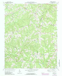
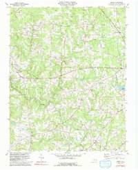
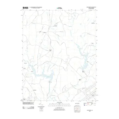
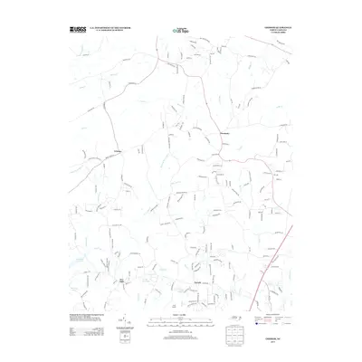
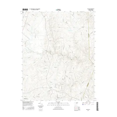
1978 Map of Grissom
USGS Topo · Published 1987About this map
The boundary lines of Granville, Franklin, and Wake counties converge in this landscape defined by small rural settlements and a dense network of country churches. The community of Grissom sits at a central crossroads, surrounded by numerous houses of worship including Marys Chapel, Rock Spring Ch, and New Rock Spring Ch. Further east, the village of Pocomoke anchors the area near Wesley Chapel and Popes Chapel. The southern portion of the map reveals the emerging impact of Falls Lake, where the creation of Falls Lake State Park begins to reshape the terrain around New Light and Mill Creek. The abundance of family-named landmarks and cemeteries near Purnell and Brassfield Ch provides a clear view of the area's social fabric during the late 1970s and 1980s.
Find a feature on this map
37 named features on this map. Tap any name to fly to it.
Don’t see what you’re looking for? This feature index may not catch every label — zoom into the map to look around manually.
Map Details
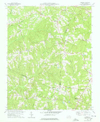
Editions of this 1978 Grissom Map
2 editions found
Historical Maps of Wake Forest Through Time
30 maps found
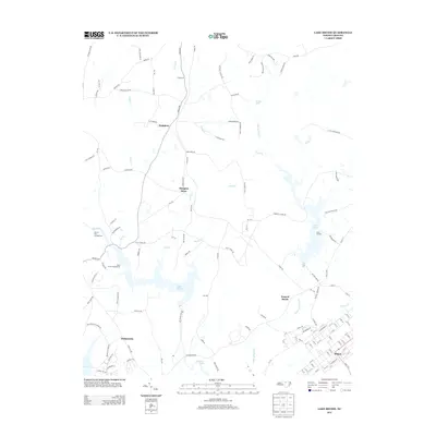
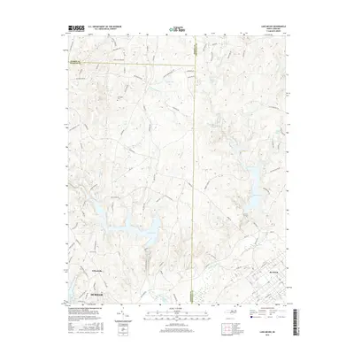
1977 Lake Michie
Granville County, NC
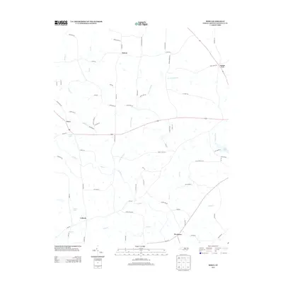
1977 Wilton
Granville County, NC
1978 Grissom
Granville County, NC
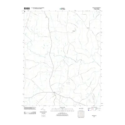
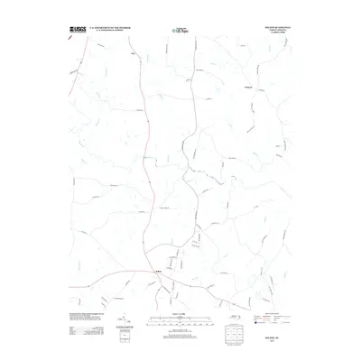
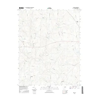
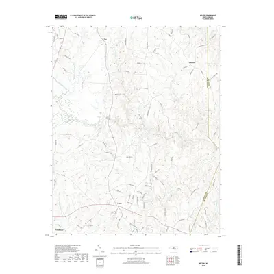
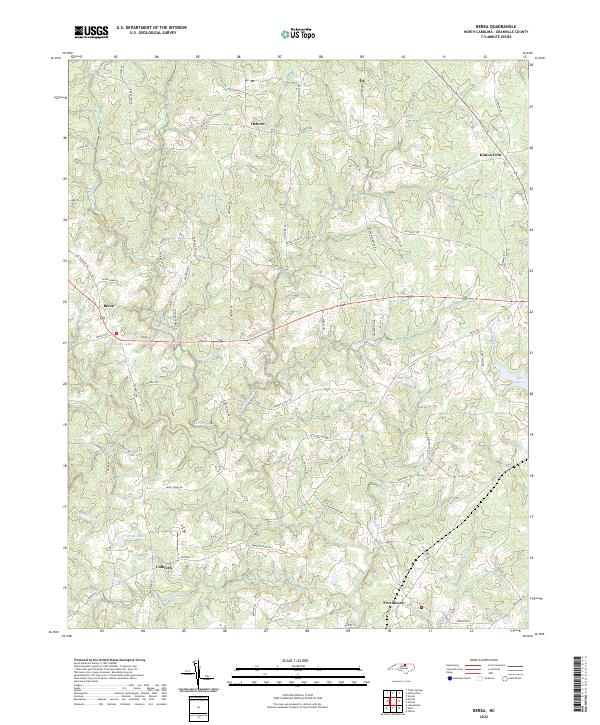
1981 Berea
Granville County, NC
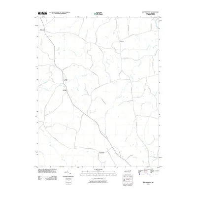
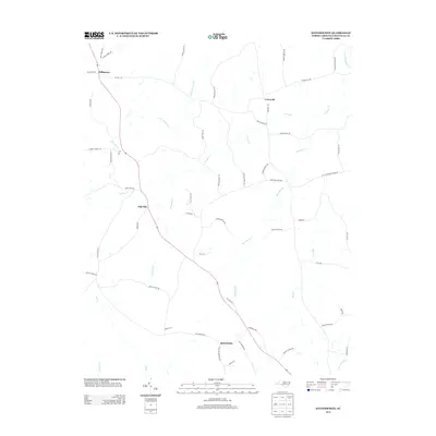
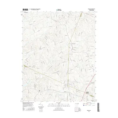
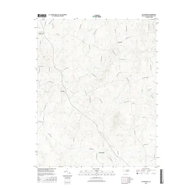
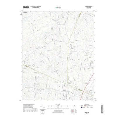
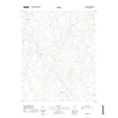
1981 Satterwhite
Granville County, NC
2010 Berea
Granville County, NC
2010 Grissom
Granville County, NC
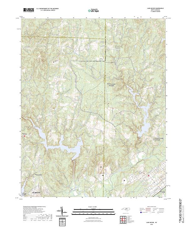
2010 Lake Michie
Granville County, NC
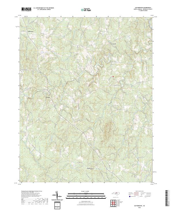
2010 Satterwhite
Granville County, NC
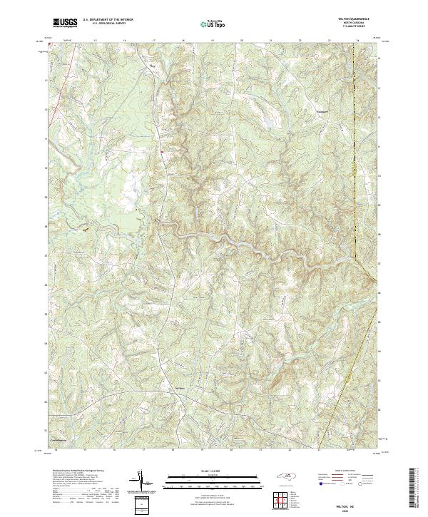
2010 Wilton
Granville County, NC
2013 Berea
Granville County, NC
2013 Grissom
Granville County, NC
2013 Lake Michie
Granville County, NC
2013 Satterwhite
Granville County, NC
2013 Wilton
Granville County, NC
2016 Berea
Granville County, NC
2016 Grissom
Granville County, NC
2016 Lake Michie
Granville County, NC
2016 Satterwhite
Granville County, NC
2016 Wilton
Granville County, NC
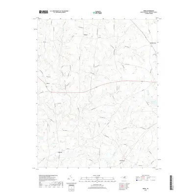
2019 Berea
Granville County, NC
2019 Grissom
Granville County, NC
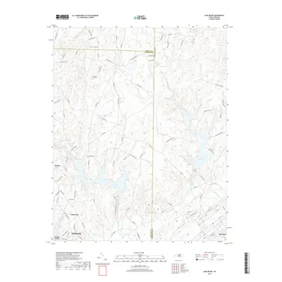
2019 Lake Michie
Granville County, NC
2019 Satterwhite
Granville County, NC
2019 Wilton
Granville County, NC
2022 Berea
Granville County, NC
2022 Grissom
Granville County, NC
2022 Lake Michie
Granville County, NC
2022 Satterwhite
Granville County, NC
2022 Wilton
Granville County, NC