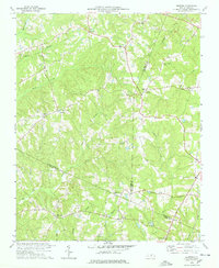
1978 Map of Grissom
USGS Topo · Published 1978About this map
The boundary lines of Granville, Franklin, and Wake counties intersect in this rural North Carolina landscape as it appeared in the late 1970s. This region is characterized by a dense network of creek systems, including Smith Creek, Mill Creek, and the winding Horse Creek, which define the topography and historical settlement patterns. Small communities and church-centered hamlets such as Grissom, Pocomoke, and Purnell serve as the primary social anchors, connected by a web of winding secondary roads.
Find a feature on this map
33 named features on this map. Tap any name to fly to it.
Don’t see what you’re looking for? This feature index may not catch every label — zoom into the map to look around manually.
Map Details
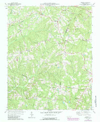
Editions of this 1978 Grissom Map
2 editions found
Other maps of this area

1943 · Raleigh
USGS Topo · 1:62,500

1943 · Creedmoor
USGS Topo · 1:62,500

1944 · Creedmoor
USGS Topo · 1:62,500

1951 · Raleigh
USGS Topo · 1:62,500

1953 · Raleigh
USGS Topo · 1:250,000

1953 · Greensboro
USGS Topo · 1:250,000

1954 · Greensboro
USGS Topo · 1:250,000

1954 · Raleigh
USGS Topo · 1:250,000

1962 · Greensboro
USGS Topo · 1:250,000

1966 · Greensboro
USGS Topo · 1:250,000