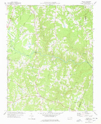
1977 Map of Wilton
USGS Topo · Published 1978About this map
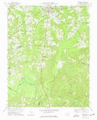
The Tar River cuts through the center of this 1970s landscape, serving as the primary geographical anchor for a region defined by small agricultural crossroads and numerous country churches. Settlements like Wilton and Clay are linked by the Seaboard Coast Line railroad, which runs through the western section of the map. The distribution of spiritual landmarks is particularly dense here, including Belton Creek Ch, Peace Chapel, and Williams Hill Ch, suggesting established rural communities centered around these congregations.
Find a feature on this map
30 named features on this map. Tap any name to fly to it.
Don’t see what you’re looking for? This feature index may not catch every label — zoom into the map to look around manually.
Map Details
Editions of this 1977 Wilton Map
This is the sole edition of this map. No revisions or reprints were ever made.
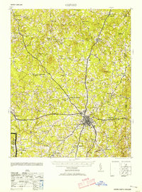
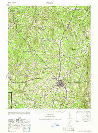
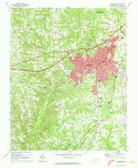
Other maps of this area

1943 · Creedmoor
USGS Topo · 1:62,500

1944 · Creedmoor
USGS Topo · 1:62,500
1953 · Oxford
USGS Topo · 1:62,500

1953 · Greensboro
USGS Topo · 1:250,000

1954 · Greensboro
USGS Topo · 1:250,000

1962 · Greensboro
USGS Topo · 1:250,000

1966 · Greensboro
USGS Topo · 1:250,000
1966 · Oxford
USGS Topo · 1:62,500
1970 · Henderson
USGS Topo · 1:24,000
1974 · Creedmoor
USGS Topo · 1:24,000