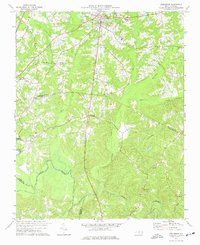
1974 Map of Creedmoor
USGS Topo · Published 1977About this map
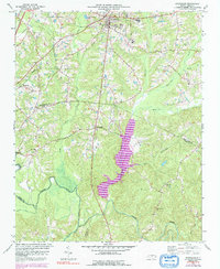
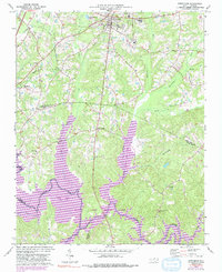
The Creedmoor area and its surroundings in Granville and Wake Counties appear here just as the mid-1970s land use patterns were established. The northern portion is anchored by the municipality of Creedmoor, where the Seaboard Coast Line Railroad serves local industry near a prominent Warehouse. Educational centers like the South Granville Sch and Hawley Sch indicate the community's growth, while the rural character remains evident in the numerous Cem locations and country churches such as Union Ch and Olive Grove Ch.
Find a feature on this map
24 named features on this map. Tap any name to fly to it.
Don’t see what you’re looking for? This feature index may not catch every label — zoom into the map to look around manually.
Map Details
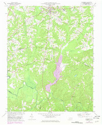
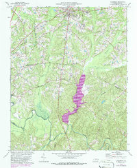
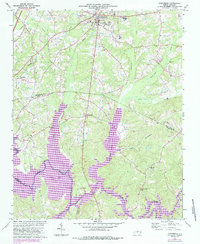
Editions of this 1974 Creedmoor Map
6 editions found
Other maps of this area

1943 · Durham South
USGS Topo · 1:62,500

1943 · Raleigh
USGS Topo · 1:62,500

1943 · Creedmoor
USGS Topo · 1:62,500

1944 · Creedmoor
USGS Topo · 1:62,500

1951 · Raleigh
USGS Topo · 1:62,500

1951 · Durham South
USGS Topo · 1:62,500

1951 · Durham North
USGS Topo · 1:62,500

1953 · Raleigh
USGS Topo · 1:250,000

1953 · Greensboro
USGS Topo · 1:250,000

1954 · Greensboro
USGS Topo · 1:250,000